Primary Route
AMR / Weld Trail to Wedge Brook loop
Standard Route

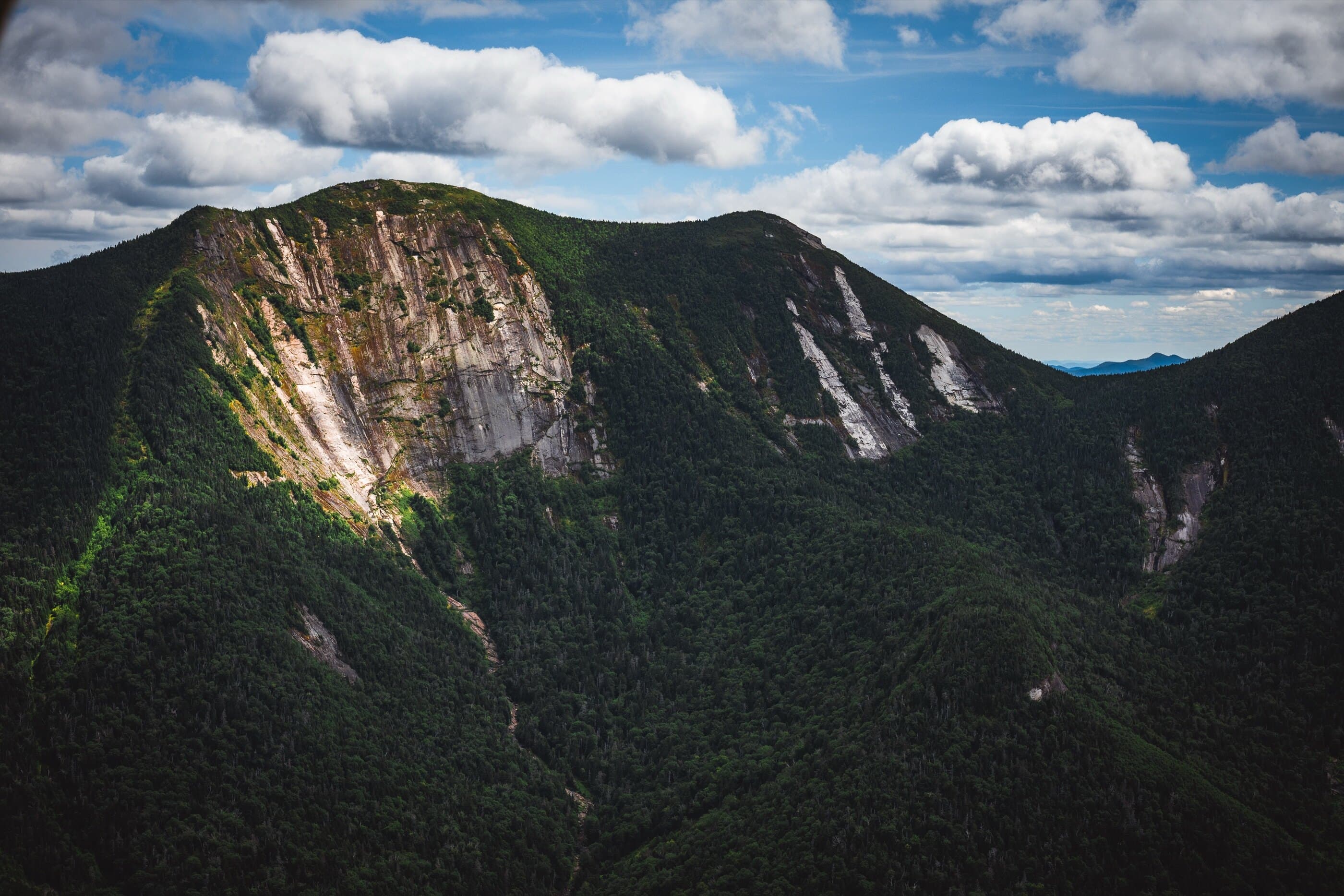
Often treated as the lower half of the Great Range, this four-summit AMR loop links the big views around Pyramid and Gothics with the rough, rooted ridge travel over Armstrong, Upper Wolfjaw, and Lower Wolfjaw.
Have photos of this hike?
Route map
Planning use
Use the route line and GPX as planning aids. Carry a physical map and verify current official conditions before relying on any route.
Open the Interactive 46 High Peaks MapRange History
Gothics is named for the Gothic appearance of its sheer north face, and local written use of the name predates the common Orson Phelps story. Armstrong was once called Mountain Brook Hump before being named for Thomas Armstrong in 1869, and it remains part of the 46er tradition even though it rises only modestly from Gothics by modern prominence standards. The Wolfjaws were once treated as one mountain, with Verplanck Colvin credited with the Wolfjaws name; the USGS listed Upper and Lower Wolfjaw separately in 1895. Together, these summits make the Lower Great Range a mix of classic High Peaks scenery, historical naming, and rough ridge travel.
Primary Route
Standard Route
Route Overview
This standard route starts at AMR, follows Lake Road to the Weld Trail, climbs by Pyramid to Gothics, crosses the Range Trail over Armstrong, Upper Wolfjaw, and Lower Wolfjaw, then descends by Wedge Brook back toward AMR. Marker sequence is blue up Weld, yellow across the Range Trail, and blue on the Wedge Brook descent.
Selected Route Access
Primary route sequence: AMR / Lake Road / Weld Trail / Pyramid / Gothics / Armstrong / Upper Wolfjaw / Lower Wolfjaw / Wedge Brook / AMR.
Selected Route Guidance
Full guide collapsed for quick scanning. 7 sections available.
Have an Adirondack hiking question?
Route choice, parking, weather, gear, timing, difficulty, or which hike fits your day. Send us your question and we’ll point you in the right direction.
For emergencies, call 911. Always verify closures, regulations, and current conditions with official sources before heading out.