
1894
The words that changed the Park.
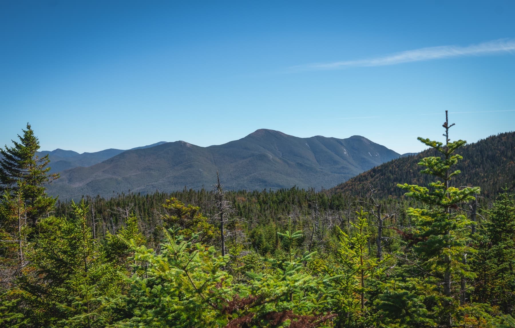
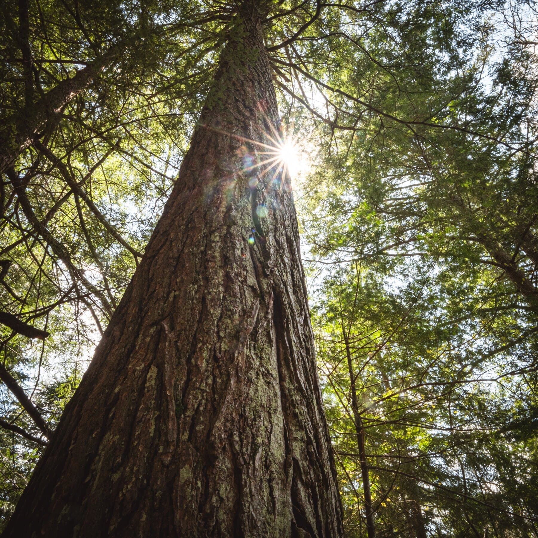
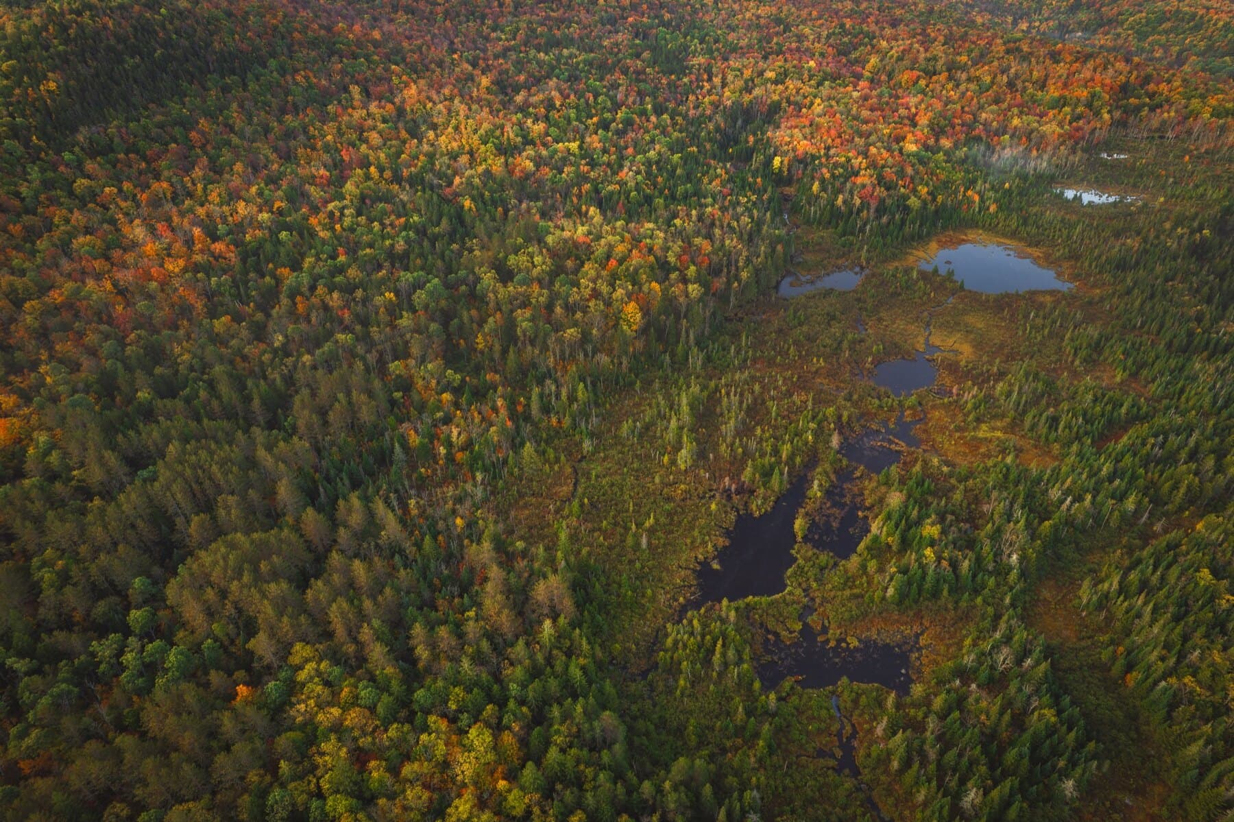
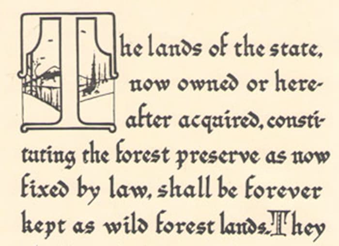
The Forever Wild clause placed the Forest Preserve inside the New York State Constitution. It made protection more than a policy preference. It became a promise.
The clause prevented state Forest Preserve lands from being sold, leased, exchanged, or stripped of timber. That protection is one of the reasons the Adirondacks remain a public wild landscape rather than only a memory of one.
“Shall be forever kept as wild forest lands.”
Article XIV, Section 1