Primary Route
Elk Lake via Beckhorn, Dix Range, and Macomb Slide
Standard Route

The Dix Range links five rugged High Peaks in one remote, demanding range day, with Dix, Hough, South Dix, Grace, and Macomb forming one of the Adirondacks’ classic long backcountry objectives.
Have photos of this hike?
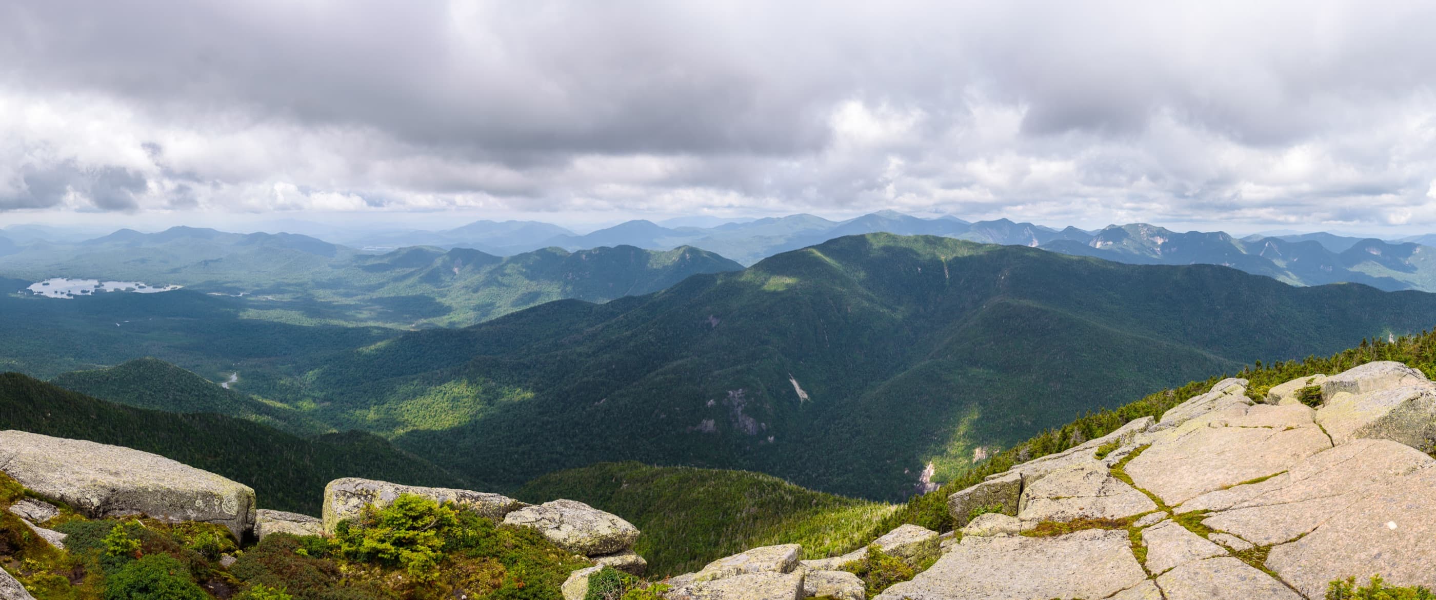
Route map
Planning use
Use the route line and GPX as planning aids. Carry a physical map and verify current official conditions before relying on any route.
Open the Interactive 46 High Peaks MapRange History
The Dix Range carries one of the richest naming histories in the High Peaks. Dix Mountain was first surveyed in 1807 by Rykert and later named by Ebenezer Emmons for John A. Dix, a War of 1812 veteran, lawyer, journalist, and New York Secretary of State. Grace Peak, formerly East Dix, was renamed in 2014 for Grace Hudowalski, the first woman to climb all 46 High Peaks and a defining figure in Adirondack Forty-Sixer history. Hough Peak passed through several names, including Cone Mountain, Middle Dix, and Little Dix, before honoring conservationist Dr. Franklin B. Hough. Macomb Mountain remembers Brigadier General Alexander Macomb, while South Dix remains the range’s positional name.
Primary Route
Standard Route
Route Overview
The standard Dix Range route starts at Elk Lake, climbs Dix first by the Beckhorn, continues across Hough, South Dix, and Grace, returns to South Dix, climbs Macomb, and descends Macomb Slide back toward Elk Lake.
Selected Route Access
Start from Elk Lake and climb Dix first by the Beckhorn. This route puts the highest peak early, crosses the range while the day is still moving forward, and saves the Macomb Slide descent for the return.
Selected Route Caution
This is a Very Difficult High Peaks route. There is no reliable water after roughly 4 miles, the Beckhorn climb gains about 2,500 feet in 2.1 miles, and Macomb Slide descends steep, loose terrain late in the day.
Selected Route Guidance
Full guide collapsed for quick scanning. 6 sections available.