#1
Central • Difficult
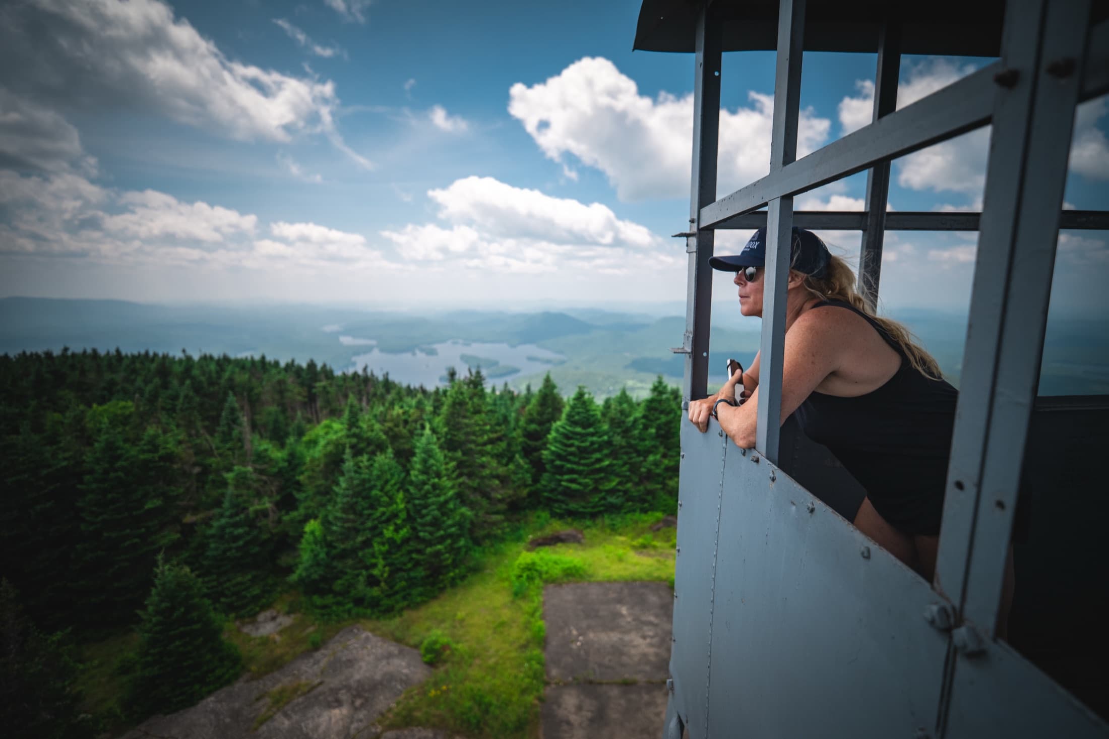
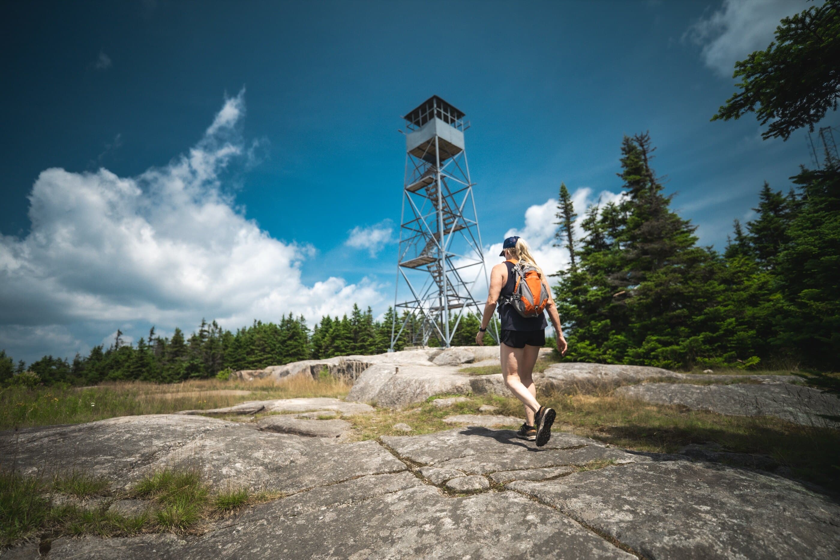
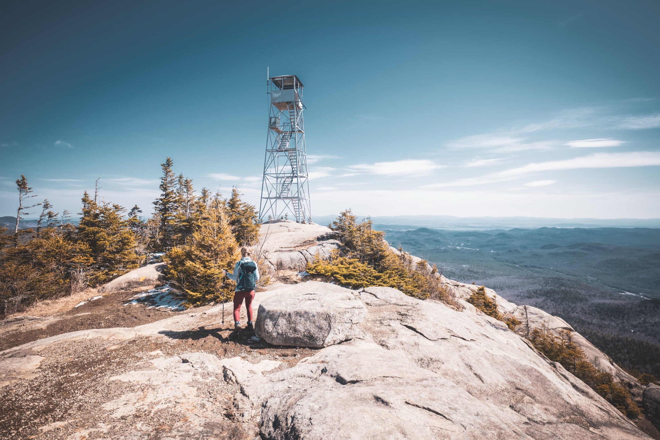
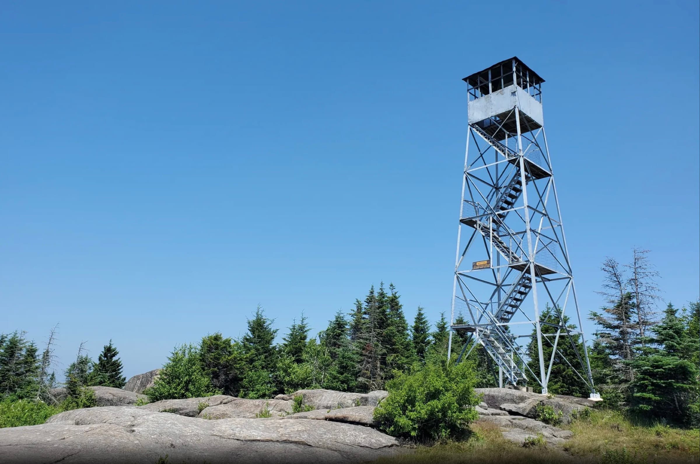
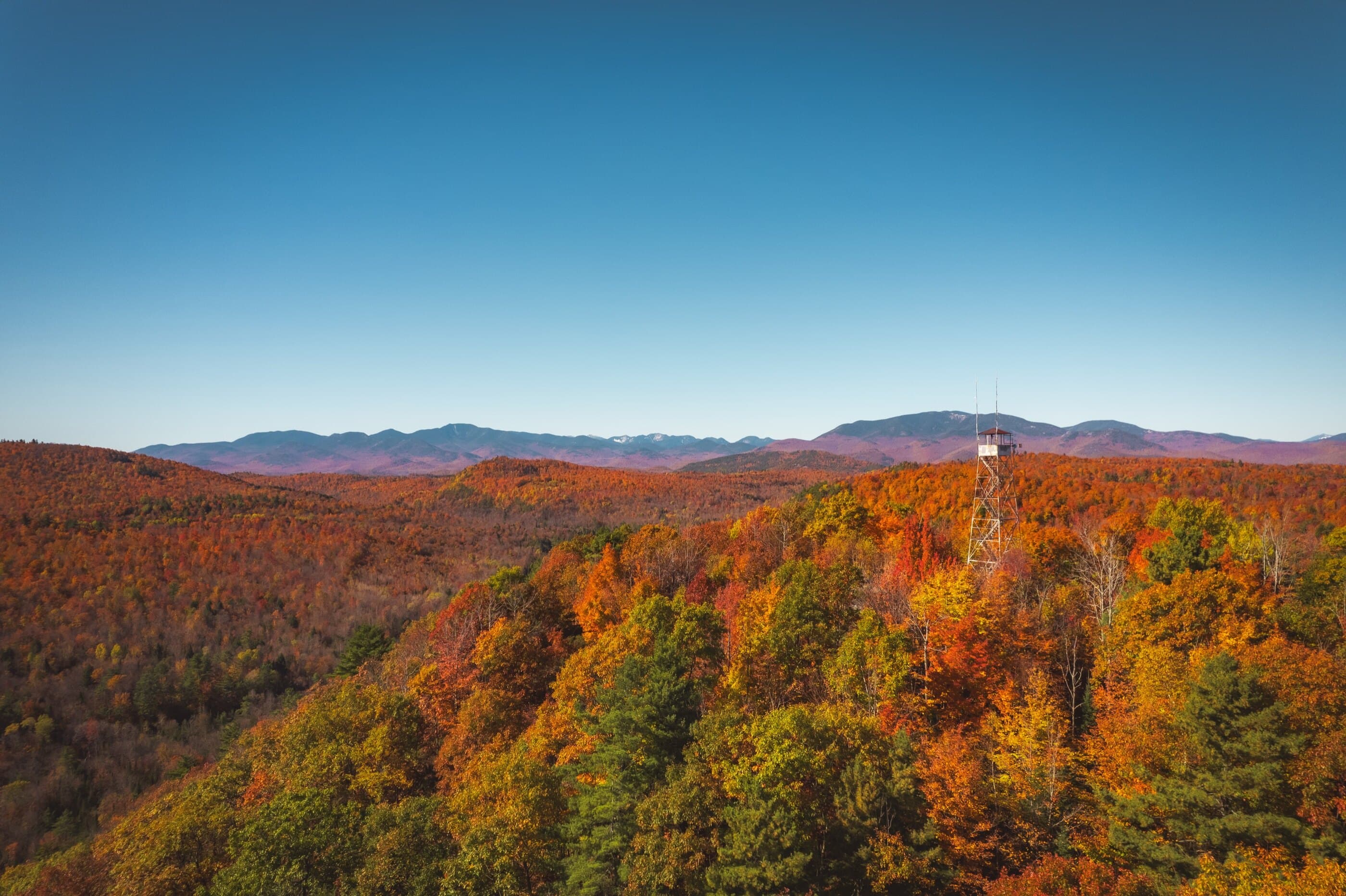
Snowy Mountain Fire Tower
Snowy Mountain Fire Tower is a demanding Route 30 fire tower hike to one of the Adirondacks’ tallest and most recognizable non-46er summits.
Summit elevation
3,898 ft
Hike distance
7.8 miles

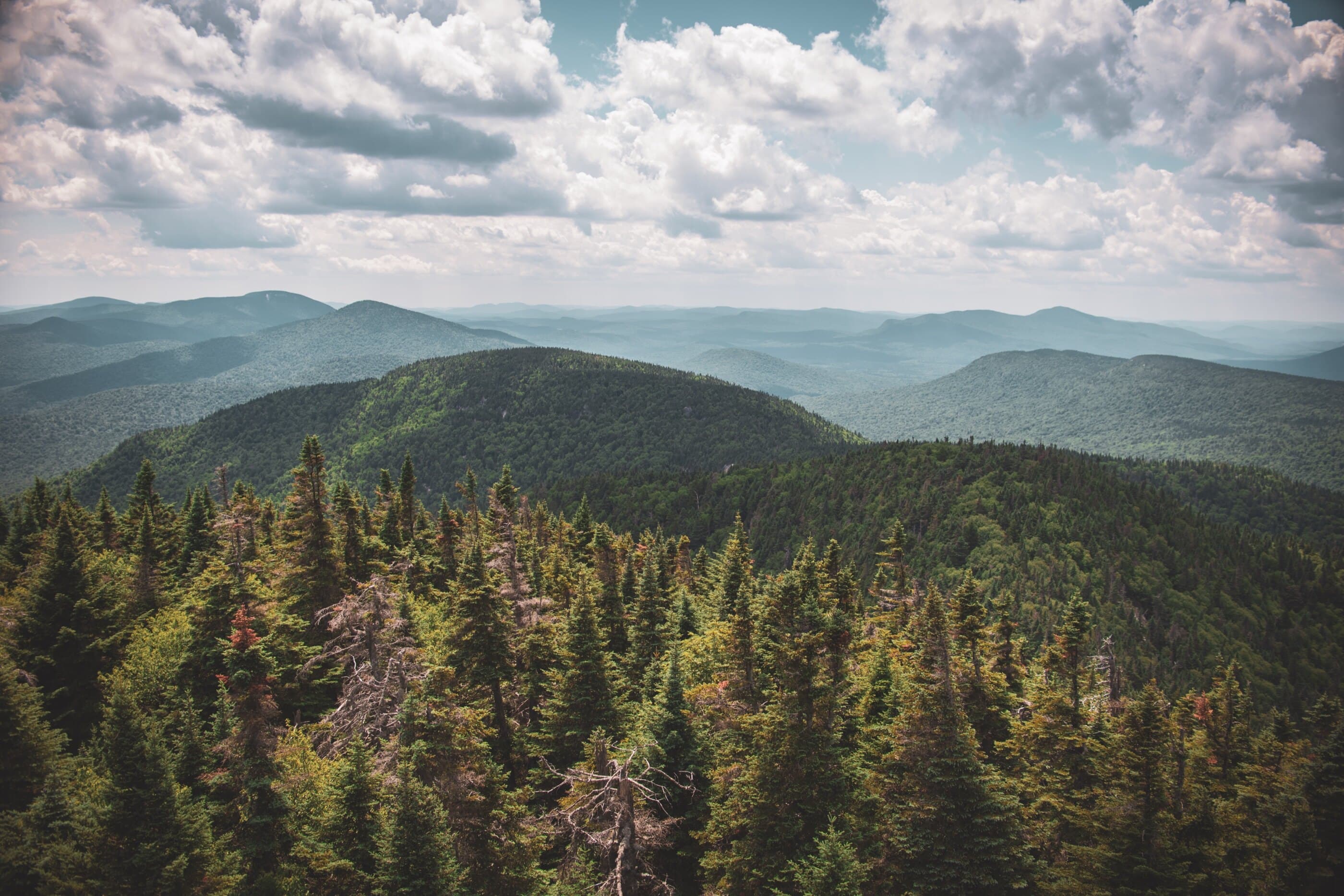
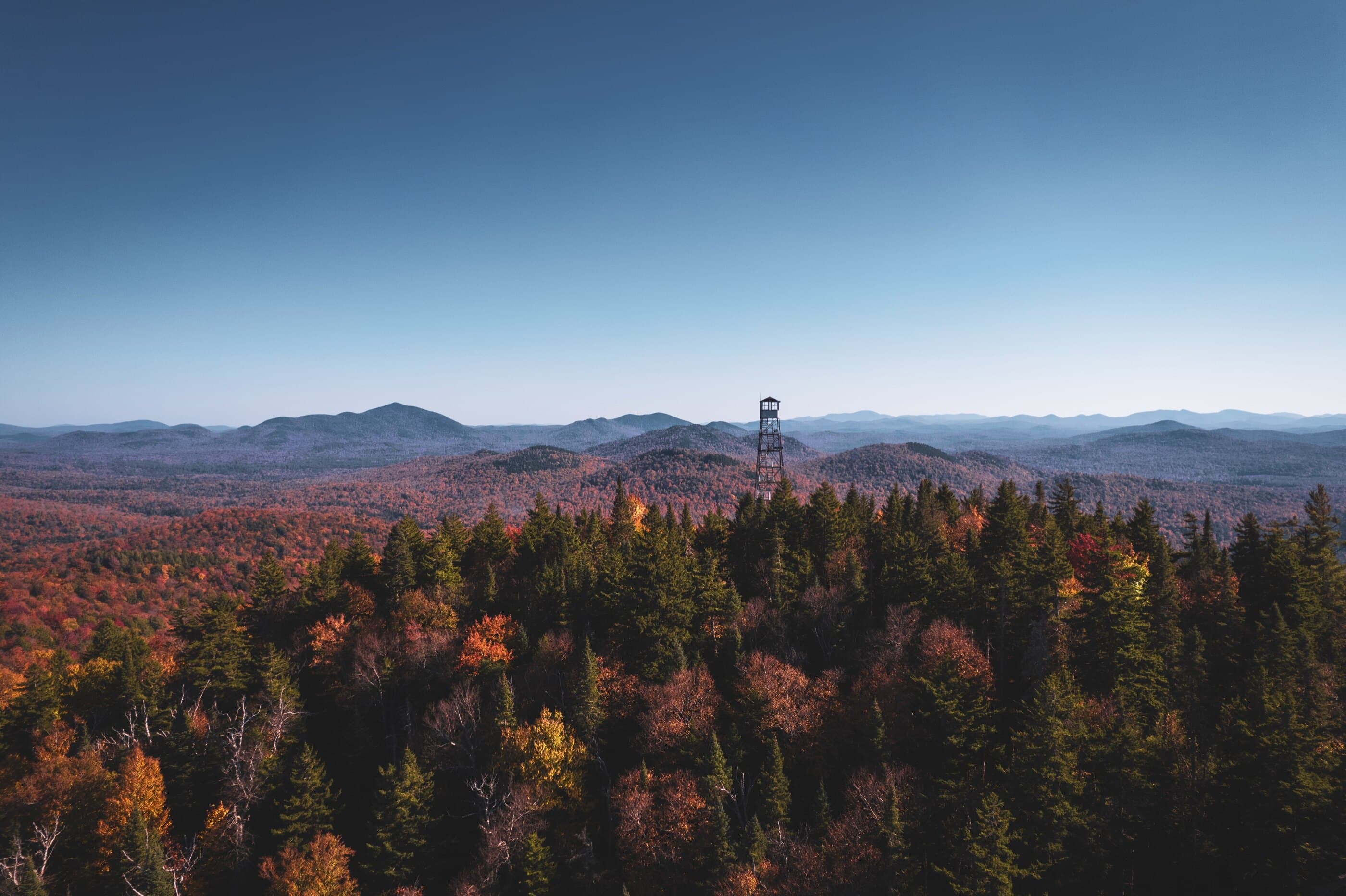
Views + History
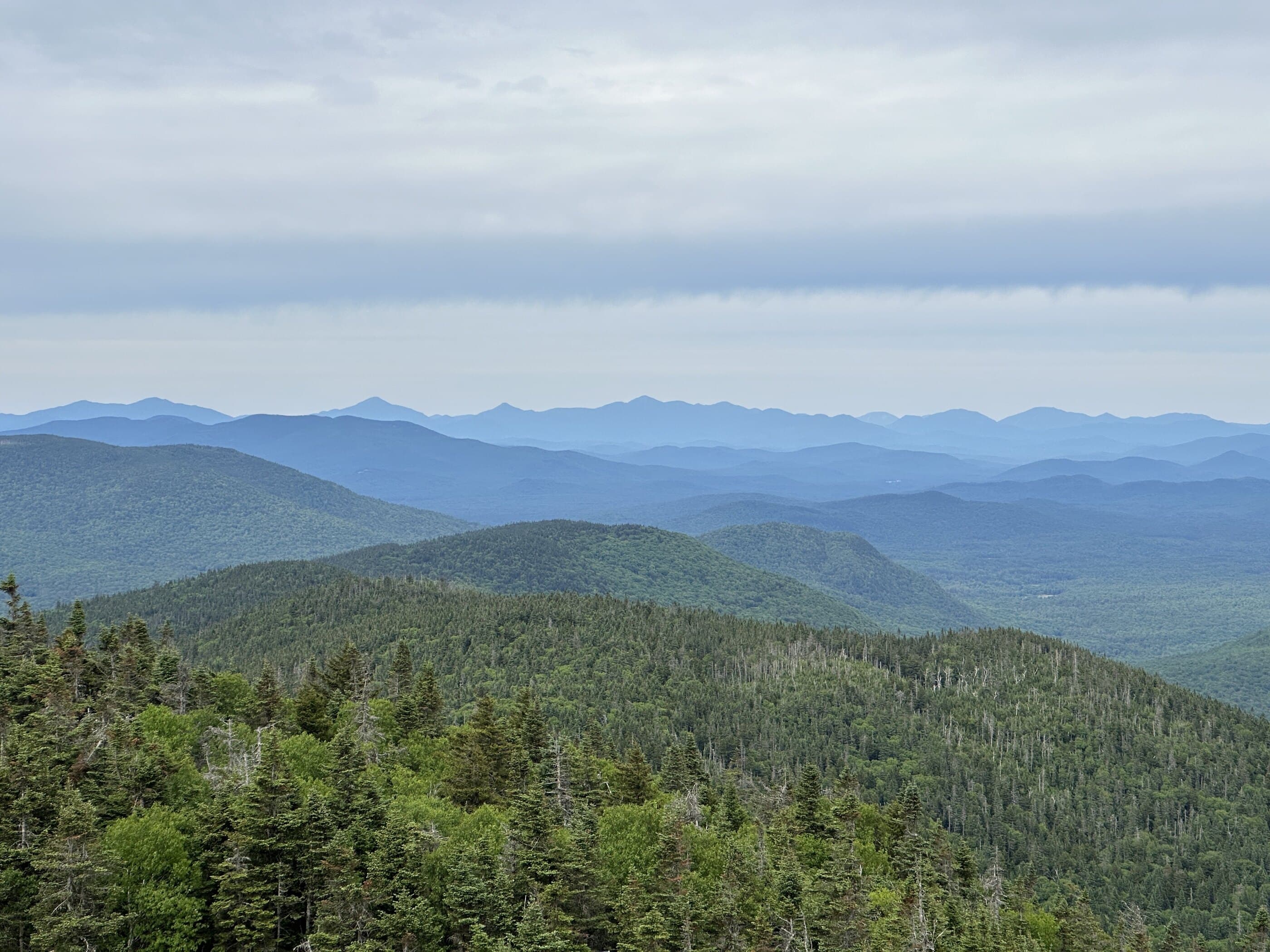
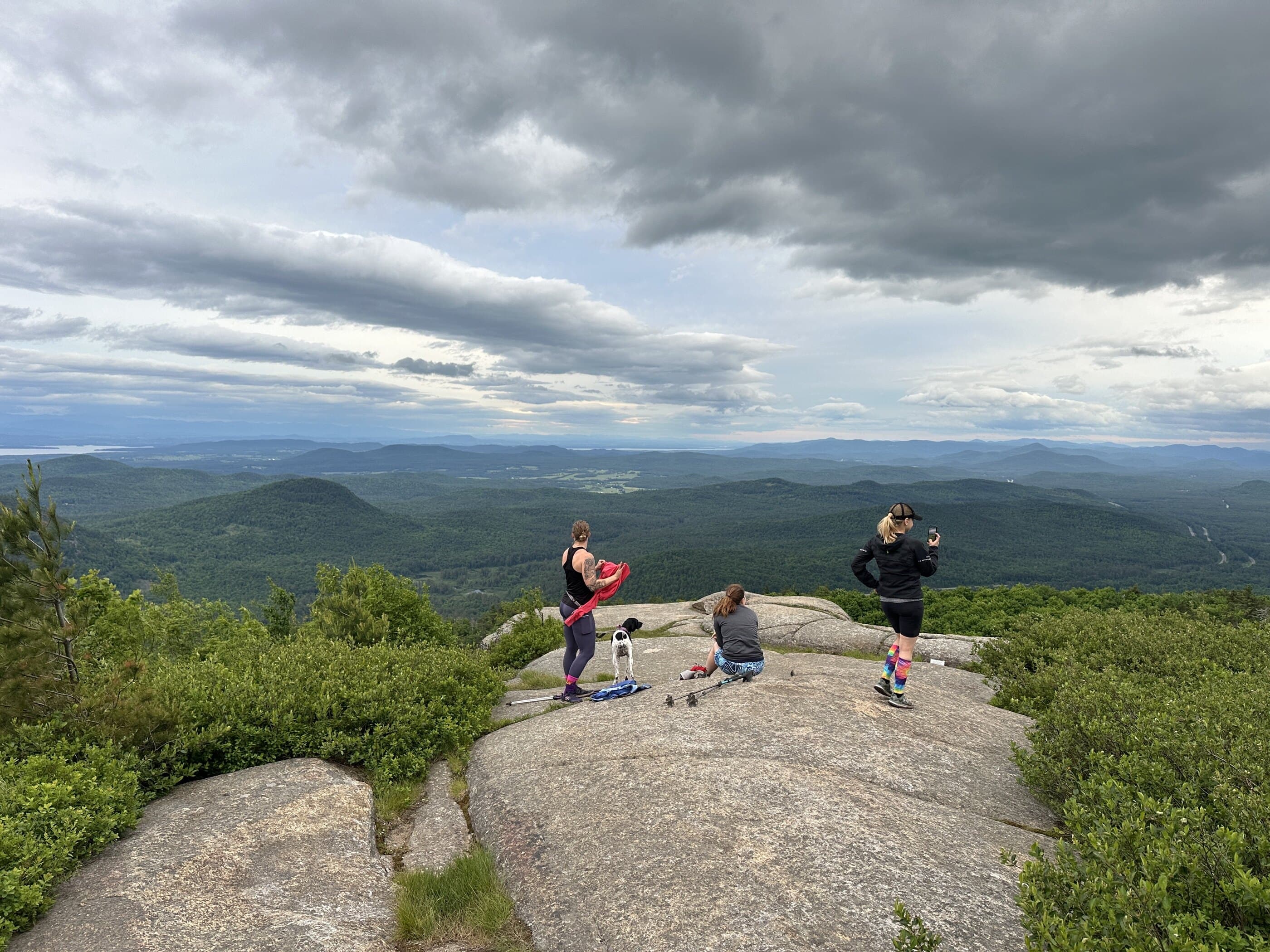
Explore Adirondack fire tower hikes, from quick roadside climbs to long, rugged summit days. The official ADK Fire Tower Challenge uses 27 qualifying Adirondack Park tower summits, while this category helps compare tower hikes by distance, elevation, region, and difficulty before opening a guide.
Loading map
See the Adirondack fire towers
Compare fire tower hikes by summit elevation, hike distance, region, and route character.
Central • Difficult
Snowy Mountain Fire Tower is a demanding Route 30 fire tower hike to one of the Adirondacks’ tallest and most recognizable non-46er summits.
Summit elevation
3,898 ft
Hike distance
7.8 miles
Northern • Hard
A major northern Adirondack fire-tower summit and Clinton County high point with a sustained climb through the Chazy Highlands.
Summit elevation
3,830 ft
Hike distance
6.8 miles
Central • Moderate
Blue Mountain is a rocky Central Adirondack fire tower climb with partial summit views and a broad tower panorama.
Summit elevation
3,750 ft
Hike distance
4 miles
Central • Moderate Hard
Wakely Mountain Fire Tower is a longer Central Adirondack fire tower hike to a 70-foot tower widely cited as the tallest in the Adirondacks.
Summit elevation
3,744 ft
Hike distance
6 miles
High Peaks • Difficult
Hurricane Mountain is a Lake Placid 9er fire-tower summit with multiple approaches, open ledges, and excellent High Peaks views.
Summit elevation
3,678 ft
Hike distance
6.8 miles
Central • Hard
A long North Creek Ski Bowl / Schaeffer Foot Trail ascent to Gore Mountain and its fire tower. The tower cab is permanently closed, and ski-lift ascents do not count for the ADK Fire Tower Challenge.
Summit elevation
3,600 ft
Hike distance
9.3 miles
Central • Moderate
Pillsbury Mountain is a remote fire tower hike reached by rough seasonal roads and a steady climb to open tower views.
Summit elevation
3,597 ft
Hike distance
3.4 miles
Central • Moderate
A classic Newcomb-Minerva fire-tower climb where a wooded summit opens into broad views from the tower cab.
Summit elevation
3,386 ft
Hike distance
5 miles
Northern • Moderate
A northern Adirondack fire-tower mountain where the summit remains a valid hike even though the tower itself is closed to climbing.
Summit elevation
3,314 ft
Hike distance
5.6 miles
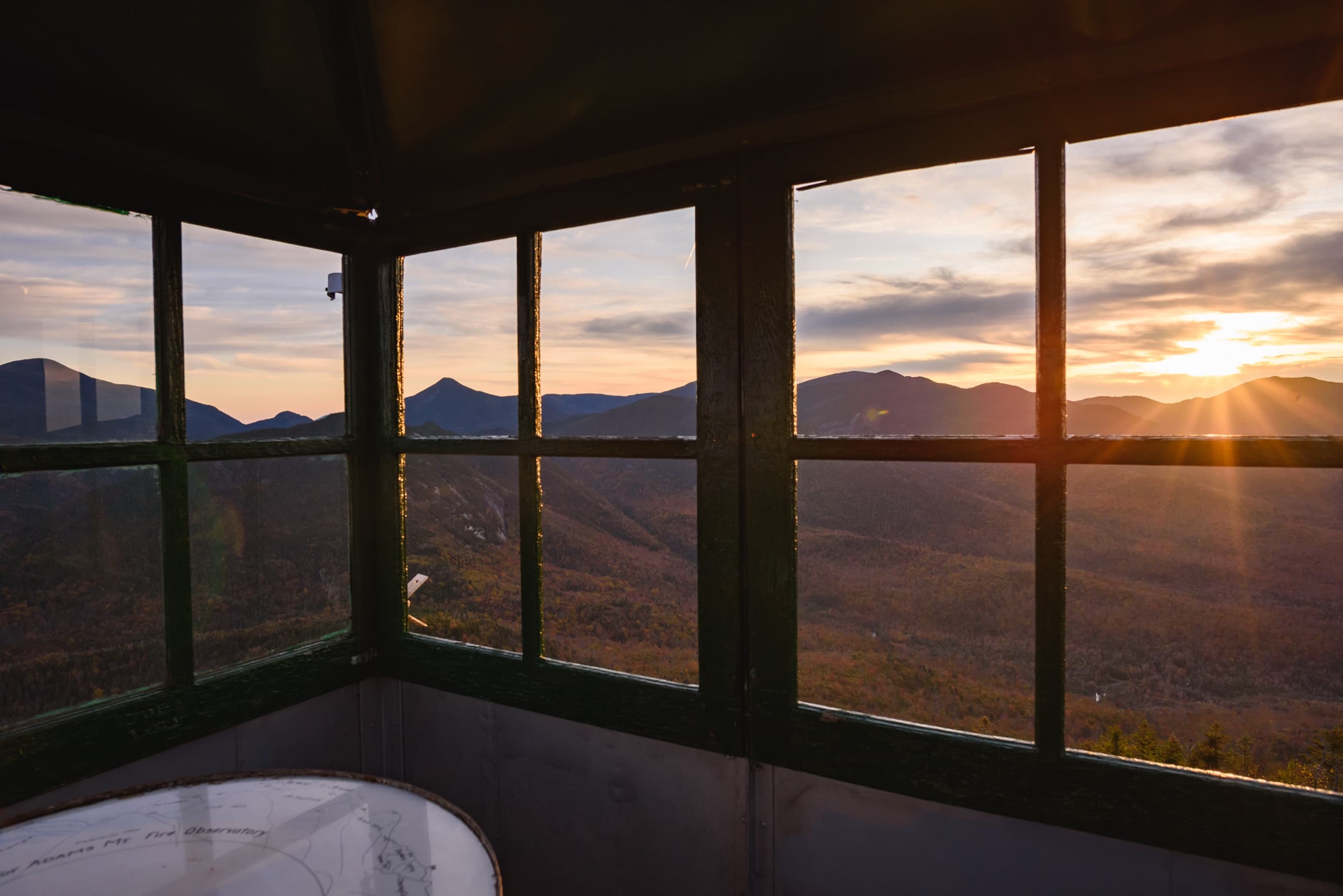
High Peaks • Moderate
Mount Adams Fire Tower is a steep Upper Works-area climb with a historic tower and exceptional views over the central High Peaks.
Summit elevation
3,250 ft
Hike distance
4.8 miles
Northern • Moderate Hard
Saint Regis Mountain is a popular fire tower hike above the canoe country, with rocky summit views over lakes and distant High Peaks.
Summit elevation
2,874 ft
Hike distance
6 miles
Central • Moderate
A Long Lake fire-tower hike with hardwood forest, wetland boardwalks, summit cliffs, and wide Central Adirondack views.
Summit elevation
2,812 ft
Hike distance
6.2 miles
Central • Moderate
Goodnow Fire Tower is a moderate Newcomb fire-tower hike with a restored summit tower and broad views over High Peaks country.
Summit elevation
2,690 ft
Hike distance
4.0 miles
Eastern • Moderate
A Lake George Wild Forest fire tower summit reached by the direct Pike Brook Road approach. The tower cab is permanently closed, but the summit remains part of the ADK Fire Tower Challenge.
Summit elevation
2,665 ft
Hike distance
5.6 miles
Southern • Moderate
Hadley Mountain Fire Tower is a popular southern Adirondack climb with sustained elevation gain and wide summit views from an open fire-tower summit.
Summit elevation
2,654 ft
Hike distance
3.6 miles
Western • Easy Moderate
Mount Arab Fire Tower is a short Tupper Lake-area climb with a restored tower, summit cabin, and broad northern Adirondack views.
Summit elevation
2,546 ft
Hike distance
2.2 miles
Northern • Easy Moderate
A northern Adirondack fire-tower hike with a steep direct climb and open views over forests, lakes, and low mountains.
Summit elevation
2,518 ft
Hike distance
2 miles
Central • Beginner
A compact Long Lake fire-tower hike with an accessible feel, stair-assisted climbing, and open tower views over the surrounding forest.
Summit elevation
2,400 ft
Hike distance
2 miles
Western • Very Difficult
Woodhull Mountain is a long, remote Black River Wild Forest fire-tower hike with a flat approach and final forest climb.
Summit elevation
2,365 ft
Hike distance
14.4 miles
Western • Easy Moderate
Rondaxe Fire Tower, commonly called Bald Mountain, is a short rocky fire tower hike with sustained views over the Fulton Chain.
Summit elevation
2,350 ft
Hike distance
2 miles
Western • Easy Moderate
Stillwater Mountain is a short fire-tower hike above Stillwater Reservoir with broad tower views and seasonal private-land access rules.
Summit elevation
2,244 ft
Hike distance
1.9 miles
Southern • Moderate
Kane Mountain Fire Tower is a short southern Adirondack loop with a restored tower, manageable climbing, and broad lake-and-forest views.
Summit elevation
2,180 ft
Hike distance
3.6 miles
Eastern • Moderate
Poke-O-Moonshine pairs a steep cliffside mountain trail with a restored fire tower and broad views over the northeastern Adirondacks.
Summit elevation
2,180 ft
Hike distance
3 miles
Southern • Easy Moderate
Spruce Mountain Fire Tower offers a relatively short southern Adirondack tower climb with both south and north approaches to the restored summit tower.
Summit elevation
2,009 ft
Hike distance
2.6 miles
Eastern • Easy Moderate
Swede Mountain Fire Tower is a short Lake George Wild Forest climb to a restored tower with broad views for limited mileage.
Summit elevation
1,900 ft
Hike distance
1.8 miles
Northern • Easy
Belfry Mountain is one of the Adirondacks’ easiest fire tower hikes, using a short access road to wide Champlain Valley views.
Summit elevation
1,840 ft
Hike distance
0.8 miles
Western • Easy Moderate
Cathedral Rock is a short Wanakena fire tower hike with campus forest walking, cliffside terrain, and broad Cranberry Lake-area views.
Summit elevation
1,680 ft
Hike distance
2.2 miles