

Pillsbury Mountain Fire Tower
Southern Region • Southern Region
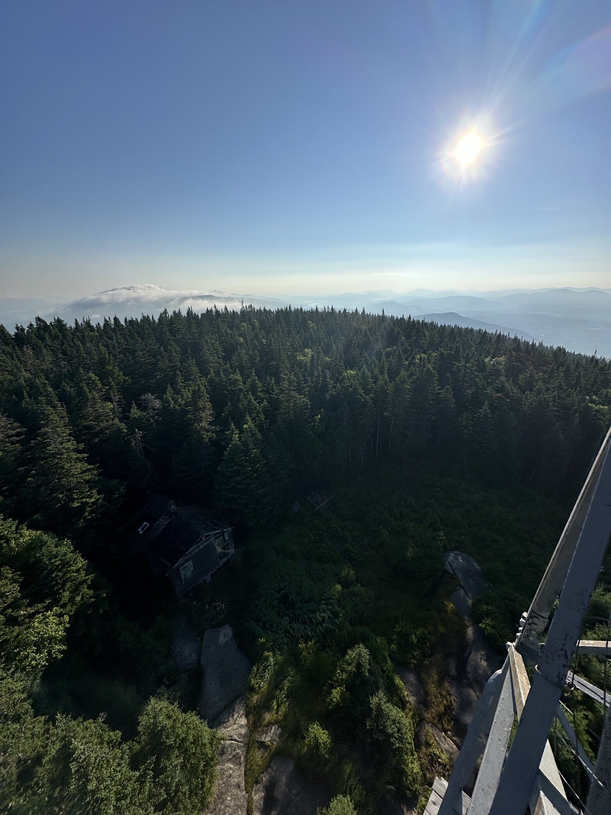
Pillsbury Mountain is a remote fire tower hike reached by rough seasonal roads and a steady climb to open tower views.
Photo Gallery
Have photos of this hike?
Destination map
Pillsbury Mountain Fire Tower
Map note
This map marks the hiking objective itself.
Route files
Route lines and GPX downloads are available only for selected launch routes. Most destination maps will remain objective-only until a later version.
Route Guidance
Trail Overview
Pillsbury Mountain Fire Tower is a remote Hamilton County fire tower hike on the southern edge of the West Canada Lake region. The usual approach reaches the mountain by way of seasonal access roads near Perkins Clearing and Sled Harbor, then follows a steady wooded trail to the summit and restored tower. Hikers go for the sense of remoteness, the historic tower, and broad views over lakes, forest, and surrounding wilderness. The hiking route itself is moderate to hard, but the access road can be the deciding factor in the real difficulty.