
Choose a region
Where are you hiking?
Start with the part of the Park you are actually heading into. Each regional page is built to make weather and trail planning easier to read at a glance.
Featured region
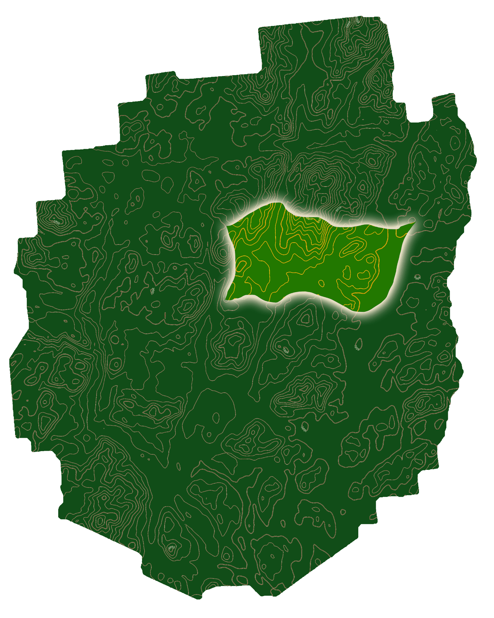
High Peaks
Summit weather, wind, exposure, cloud ceiling, access context, and the 46 High Peaks weather atlas.

Northern woods
Northern
Large forests, northern cold pockets, backroad access, lake-country routes, and localized weather shifts.

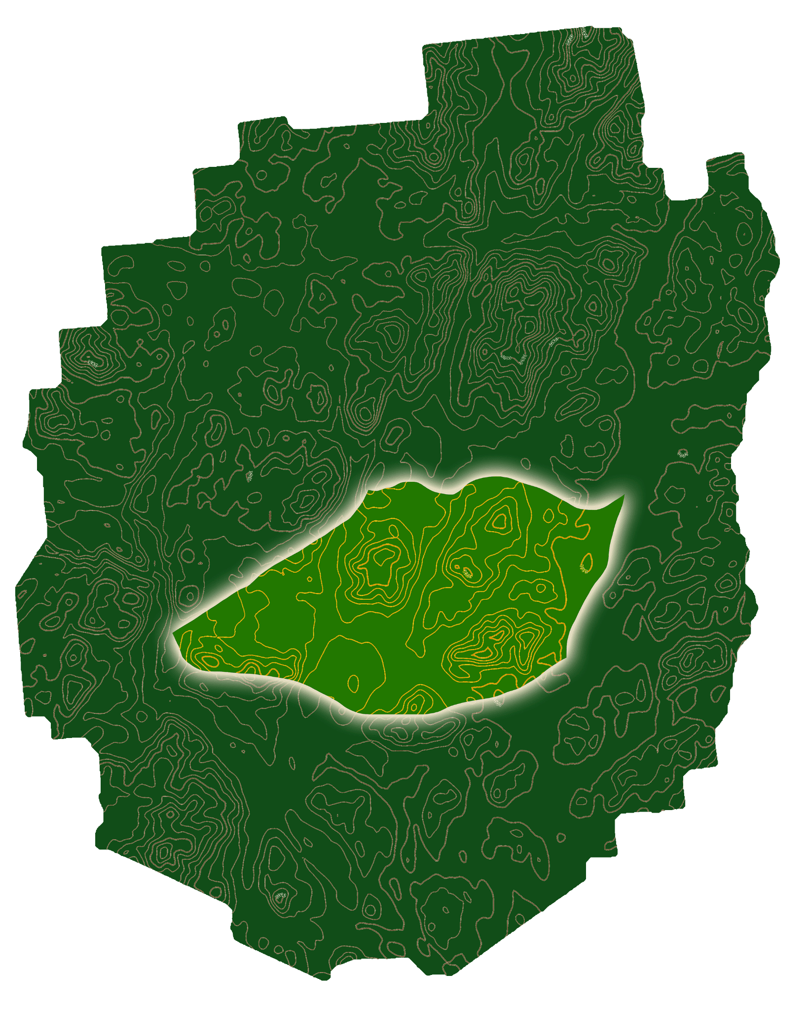
Remote interior
Western
Remote interior routes, longer drives, lake-effect influence, access roads, and slower bailout times.

Open ridges
Eastern
Open rock, Champlain-side weather, lake influence, lower-elevation hikes, and exposed smaller summits.
Lakes and forest
Central
Interior forests, lakes, water crossings, lower-elevation routes, muddy approaches, and variable road access.
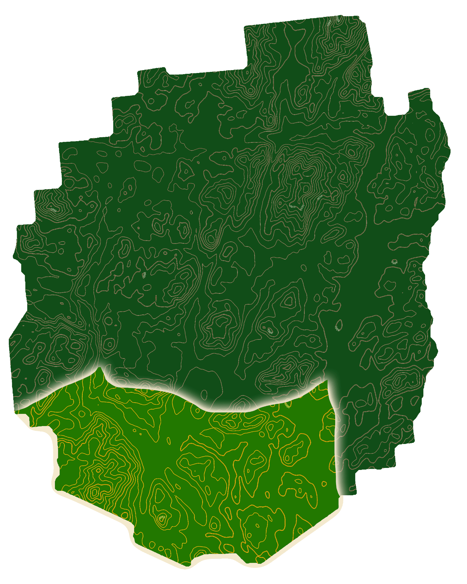
Foothills
Southern
Milder valley weather, lake basins, shoulder-season mud, lower-elevation exposure, and approachable hiking zones.