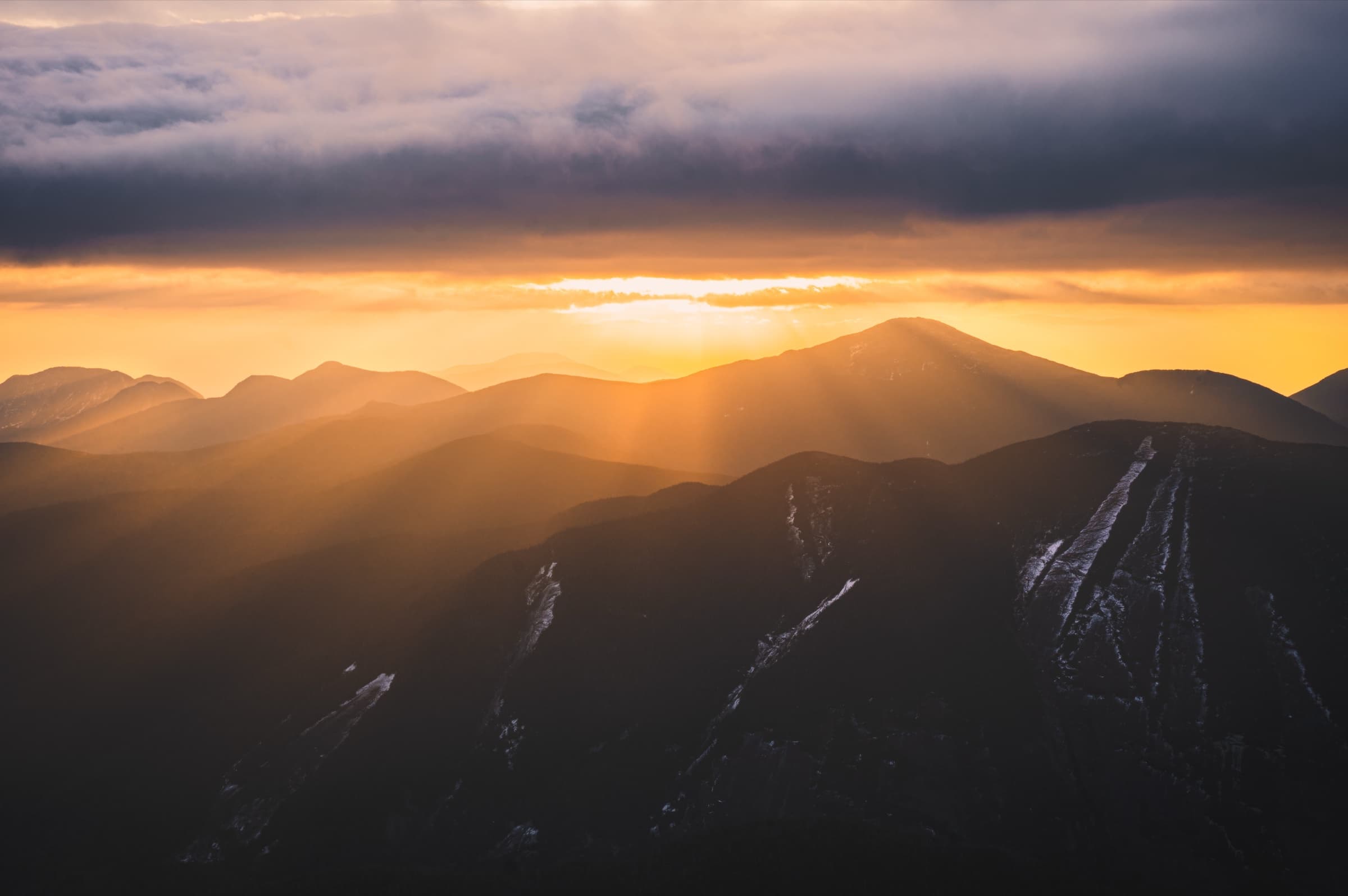
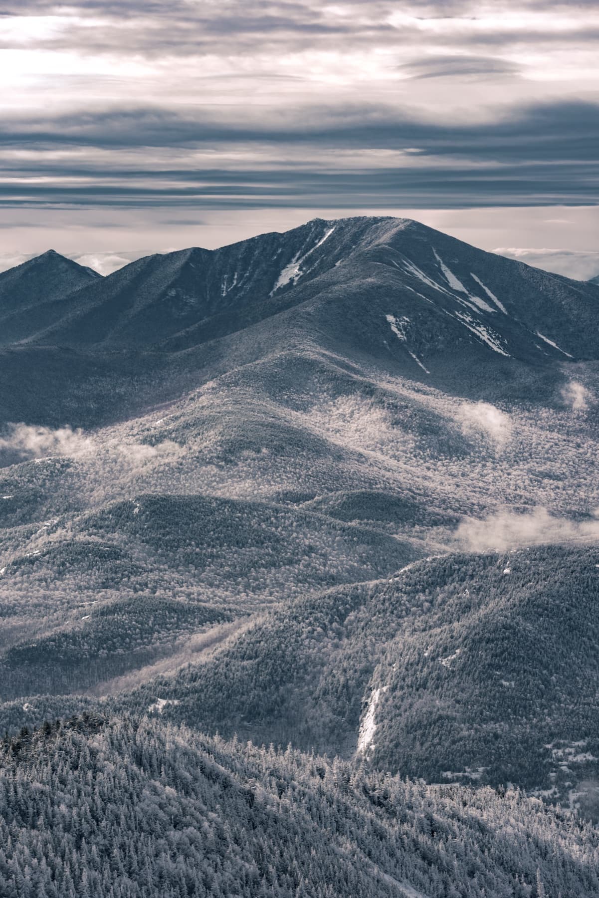
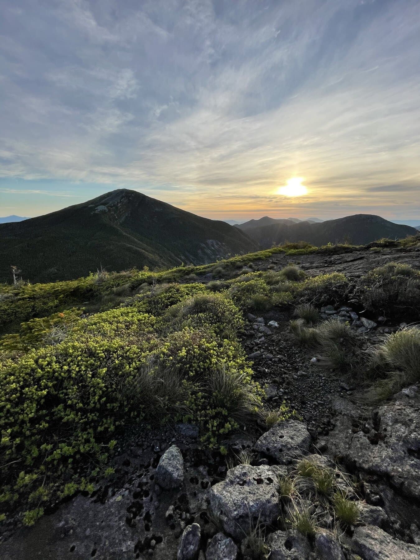
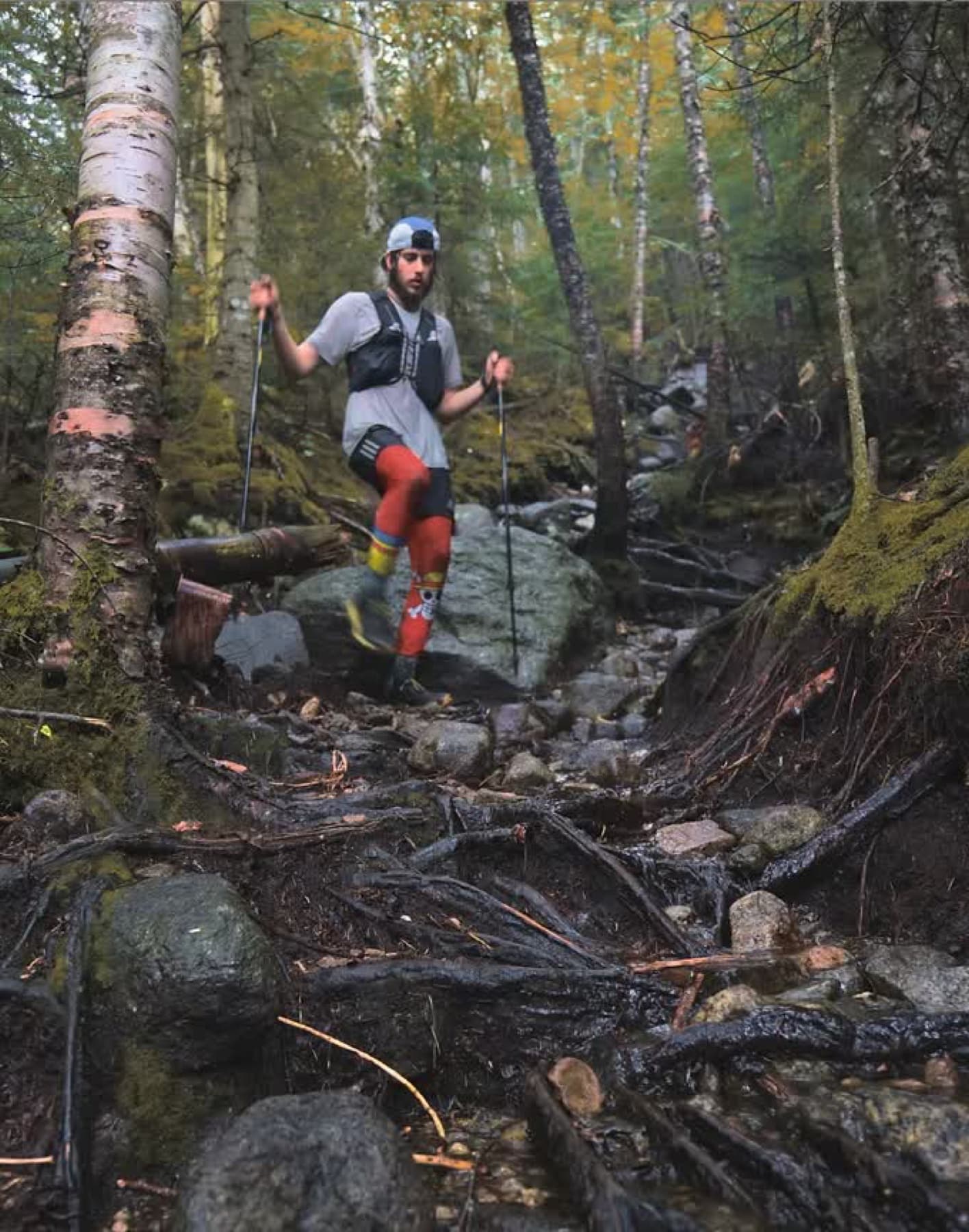
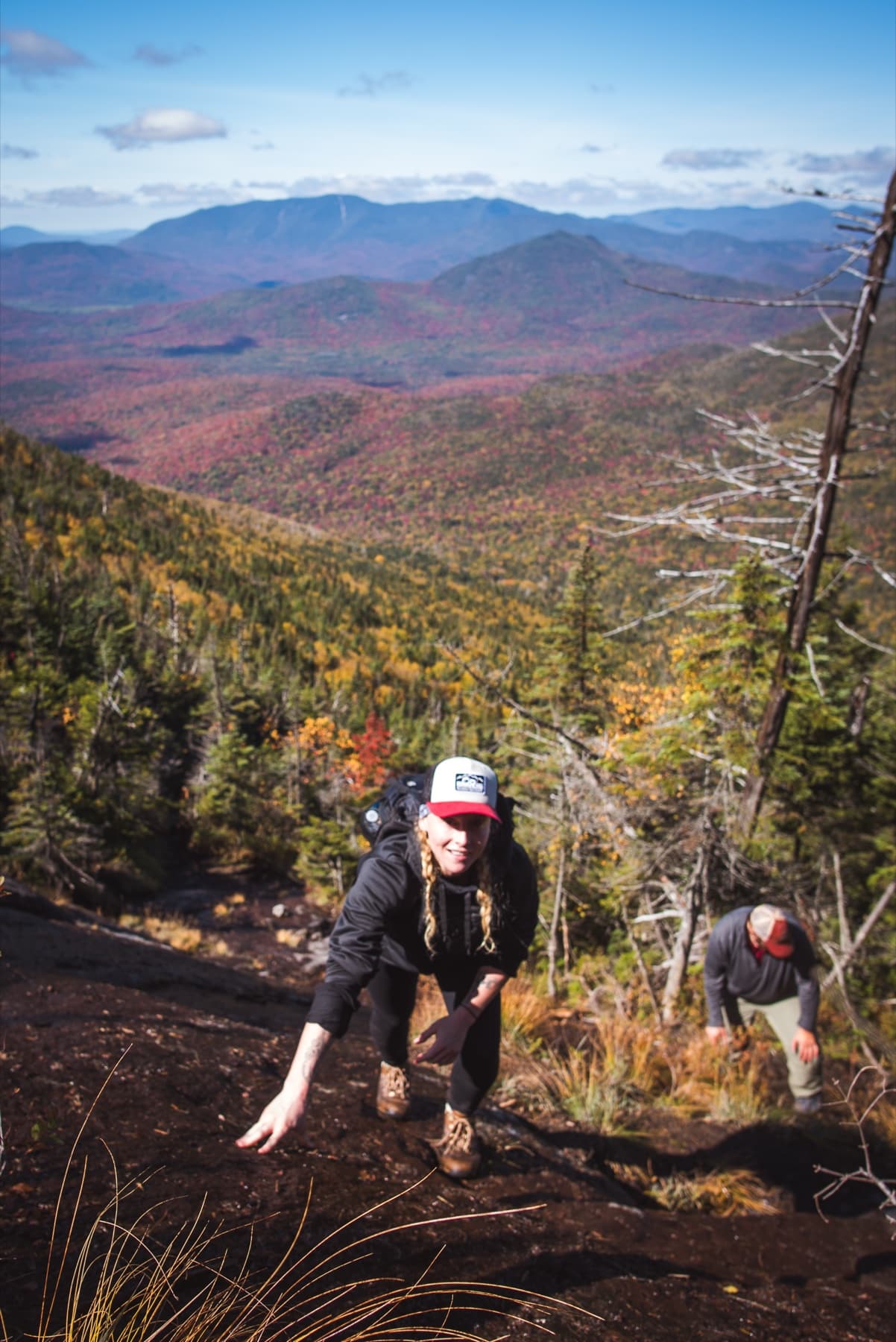
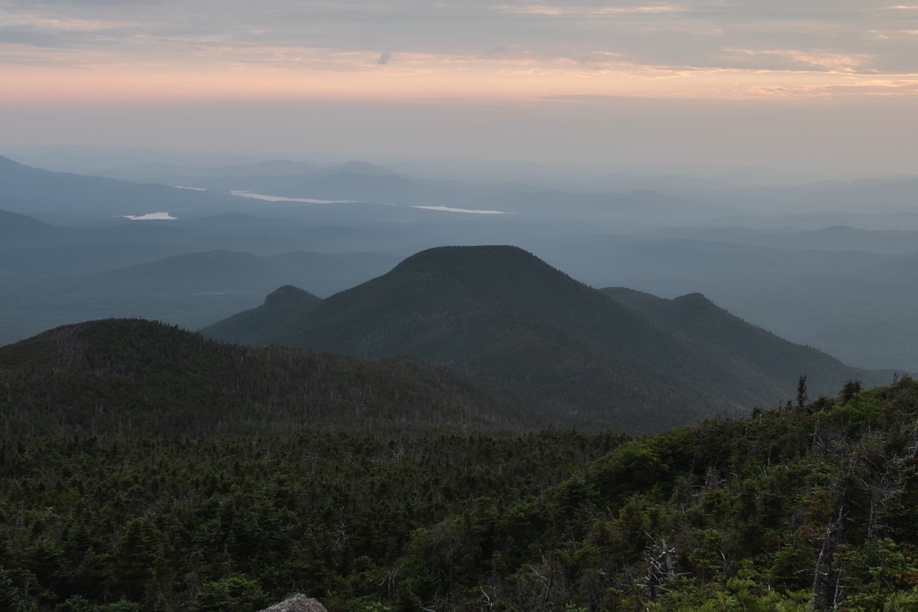
Classic range travel
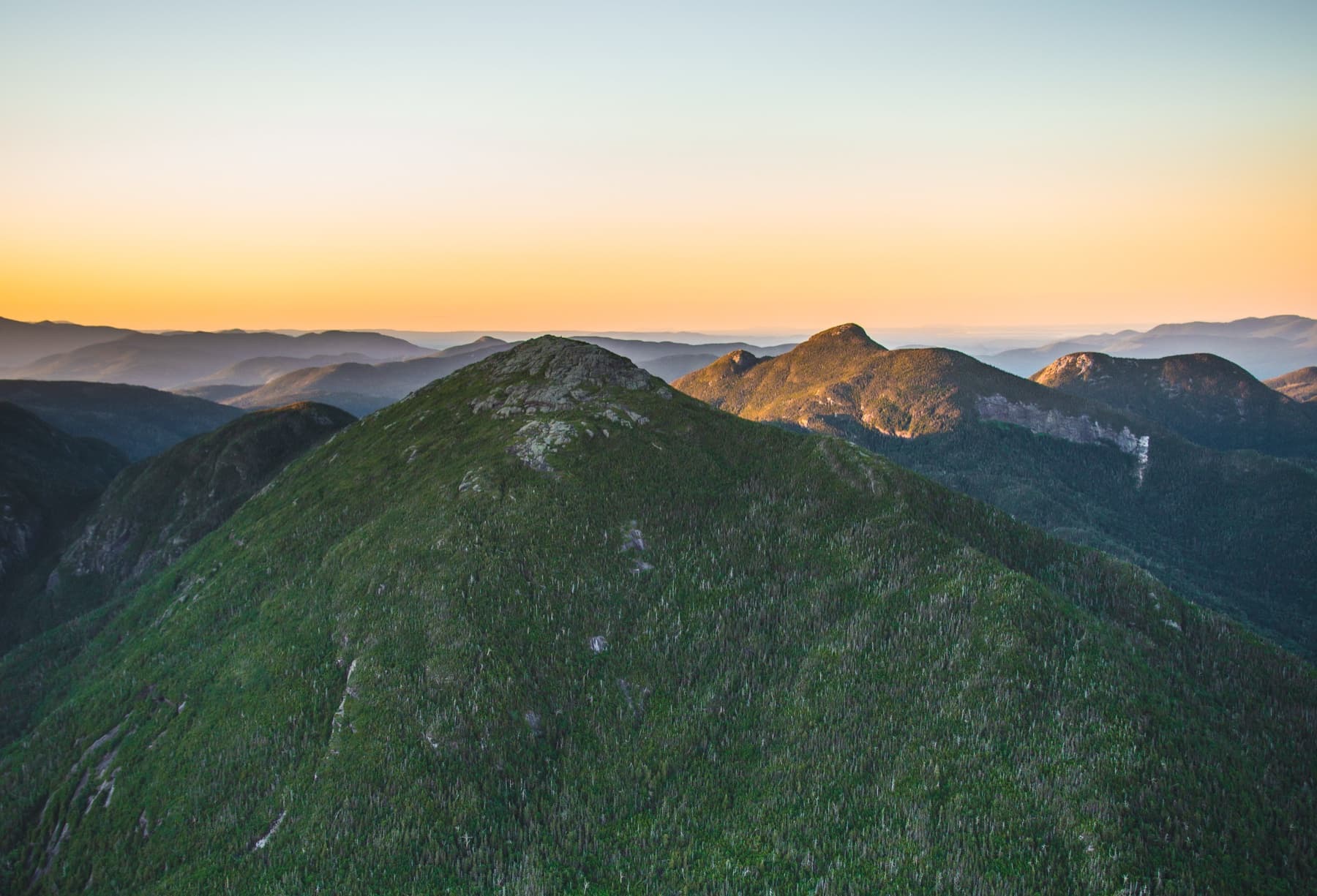
Great Range
Lower Wolfjaw • Upper Wolfjaw • Armstrong • Gothics • Saddleback • Basin • Haystack • Sawteeth
The classic ridge line: big summits, steep cols, and long traverses that can turn into very full days.

Overview map
The 46 are not scattered at random. Select a summit and the pattern starts to show: tight clusters, separate outliers, long approaches, and ranges that are usually planned together.
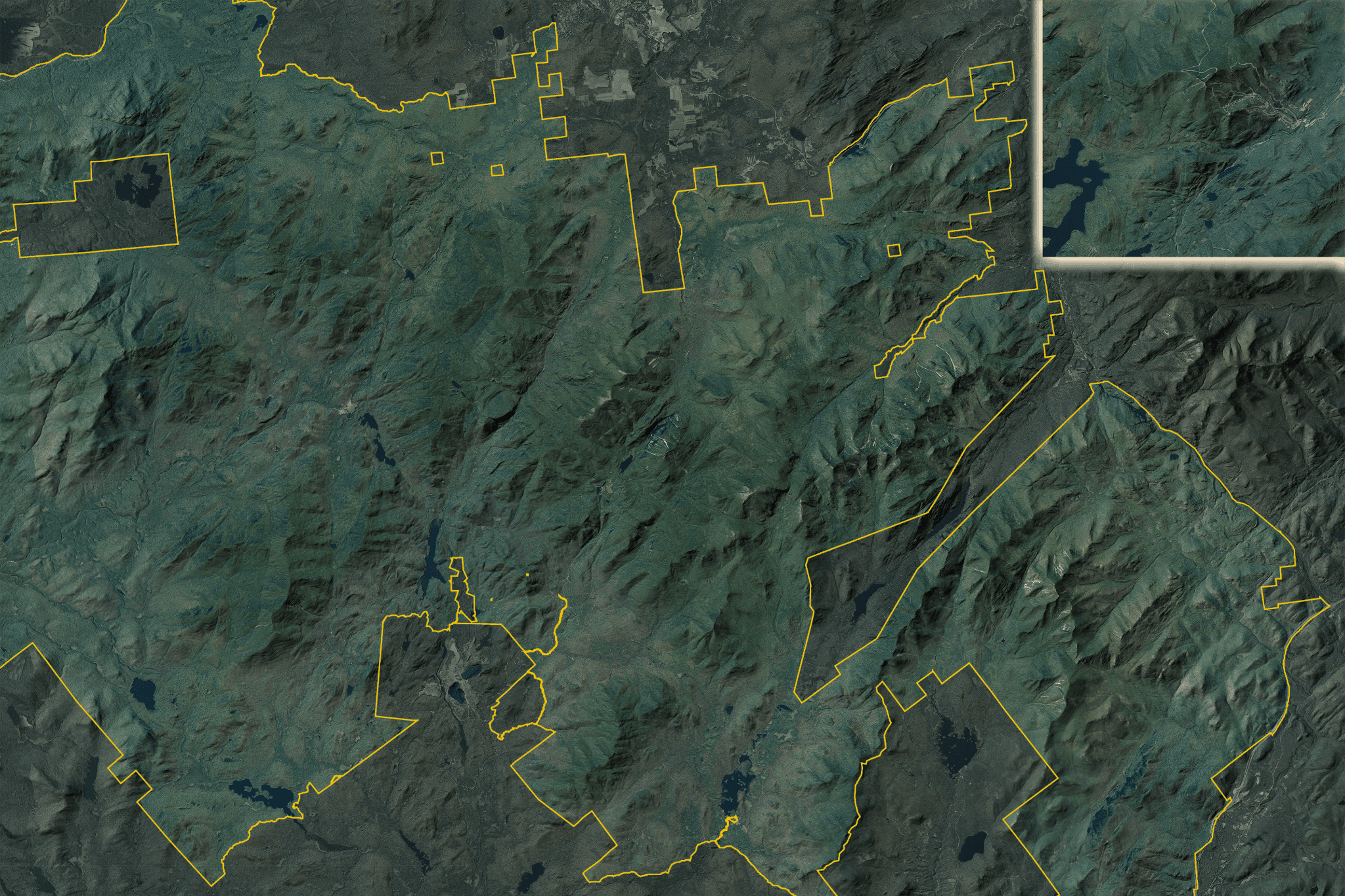
Hike ADK atlas
High Peaks Area
Summits and range context
Select a mountain
Select a triangle
Pick a summit to see rank, elevation, grouping, and a short biography.
Groupings
Nobody really hikes them as forty-six unrelated points. You learn the list through trailheads, pairs, ranges, long approaches, and days that fit together.
Classic range travel
Lower Wolfjaw • Upper Wolfjaw • Armstrong • Gothics • Saddleback • Basin • Haystack • Sawteeth
The classic ridge line: big summits, steep cols, and long traverses that can turn into very full days.
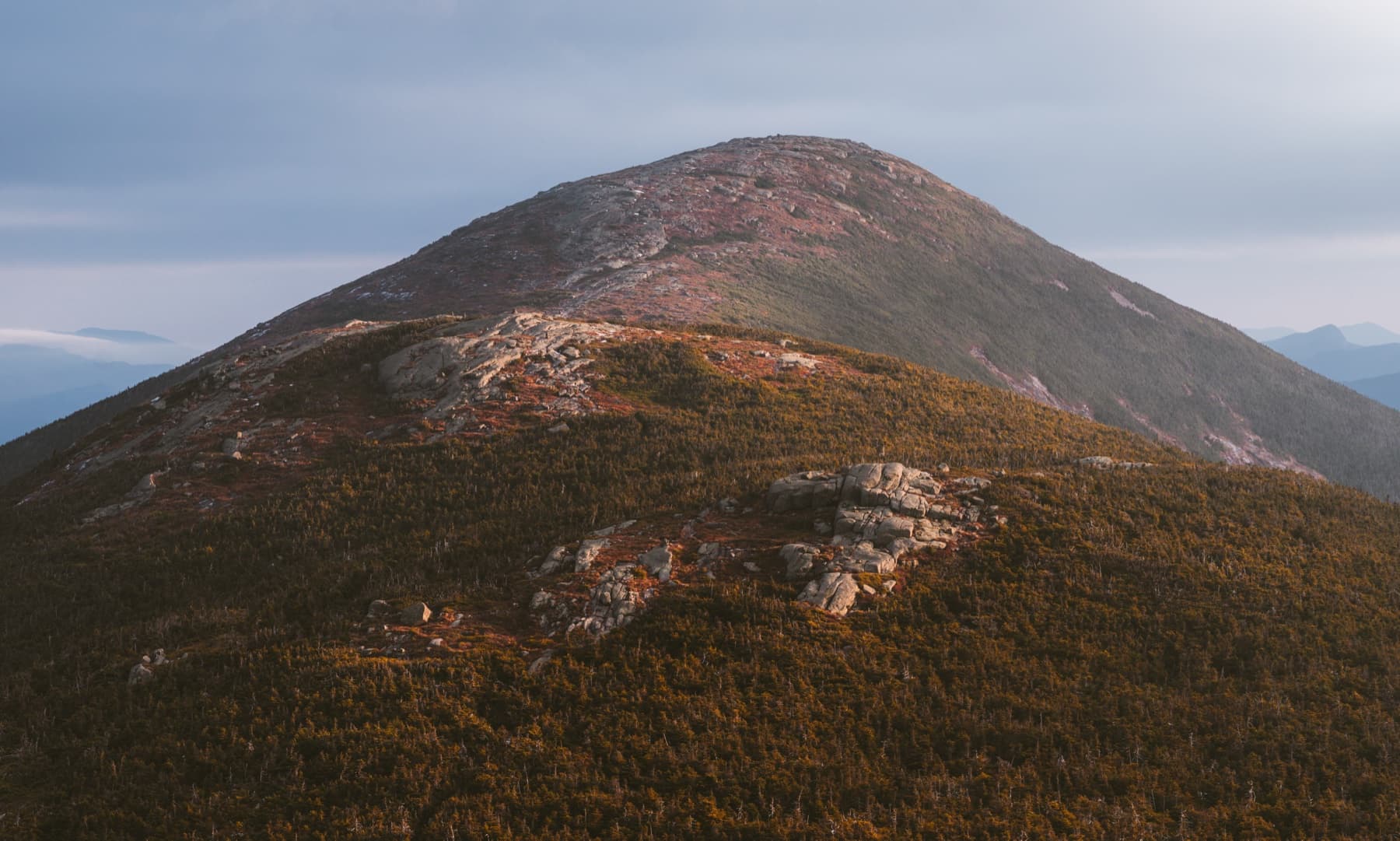
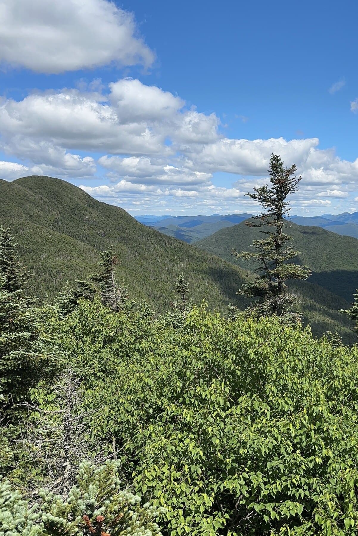
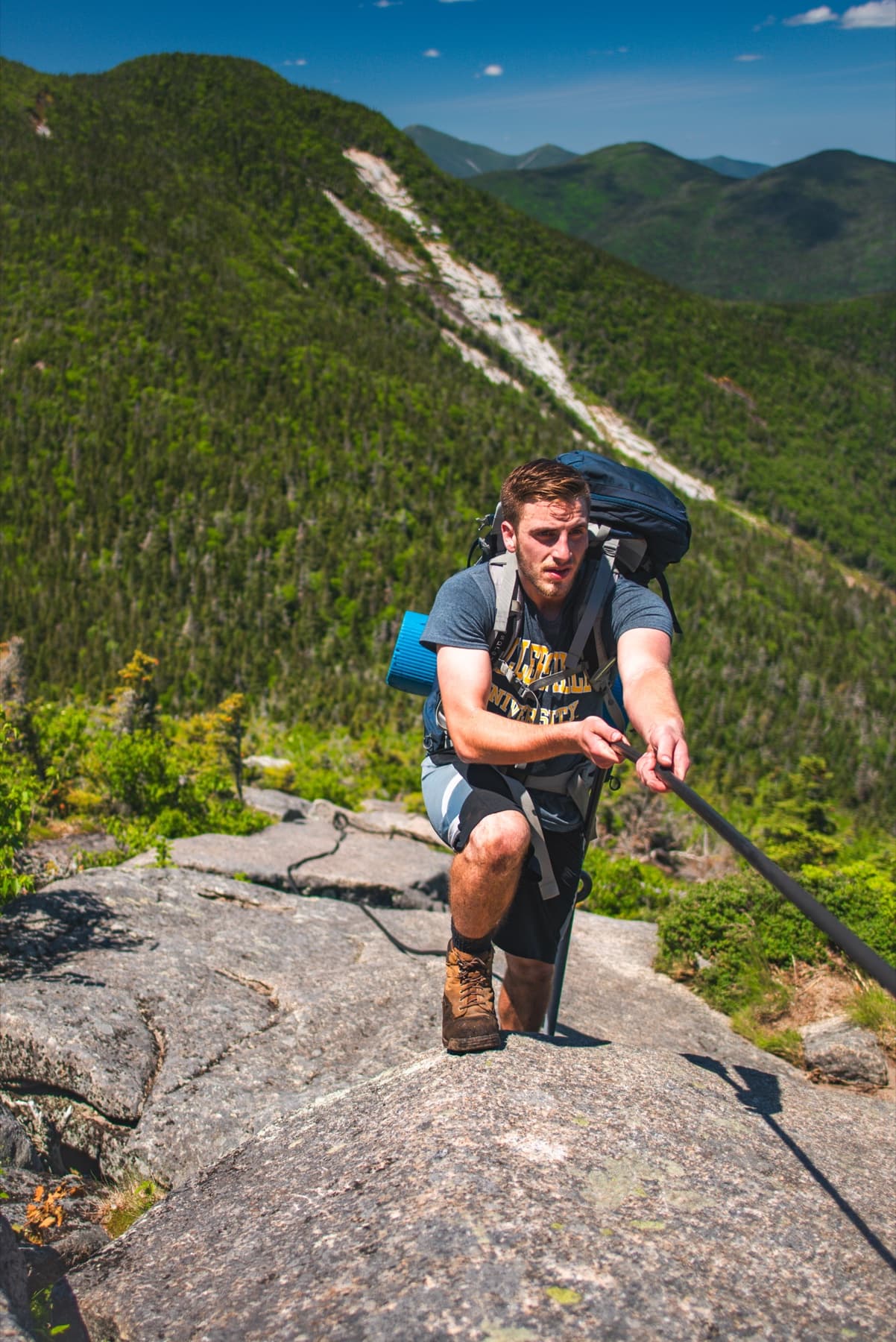
Alpine feeling
Wright • Algonquin • Iroquois • Marshall
Wright, Algonquin, and Iroquois sit close together, but the alpine exposure and weather make the range serious. Marshall is nearby, though most hikers give it its own day.
Although Marshall is geographically part of the MacIntyre Range, it is generally hiked individually.
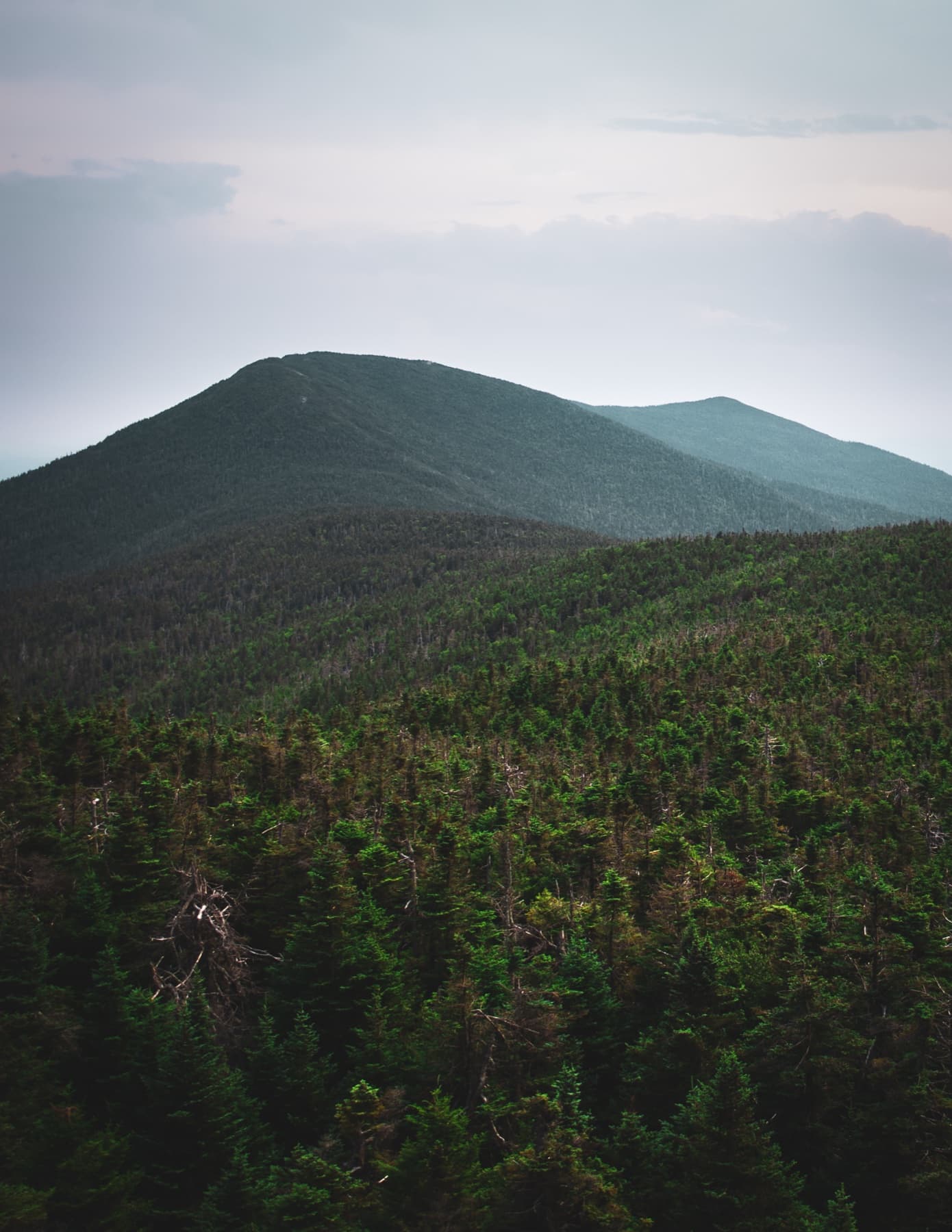
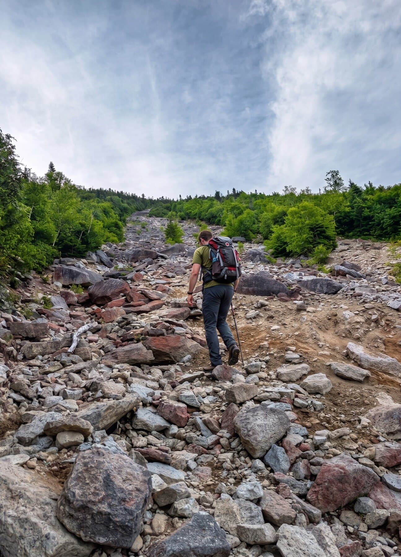
Slides and long days
Dix • Hough • South Dix • Macomb • Grace
An east-side range with slides, rough herd paths, and enough distance to make route choice matter.
Remote forest work
Seward • Donaldson • Emmons • Seymour
Quiet, wet, and a long way from the road. Many hikers remember the approach as much as the summits.
Long approach
Santanoni • Panther • Couchsachraga
A western group with distance, mud, Panther, Santanoni, and the long side trip to Couchsachraga.
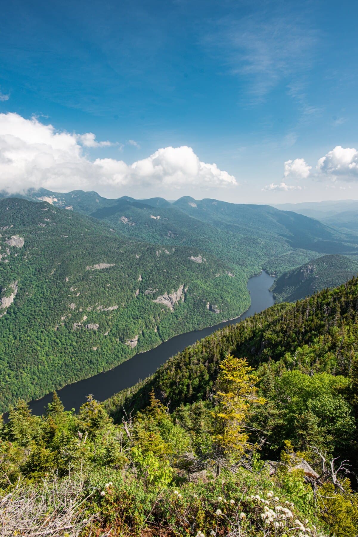
AMR access
Colvin • Blake • Nippletop • Dial
AMR-side peaks with steep drops, big views, and route choices that can turn a simple pair into a much longer day.
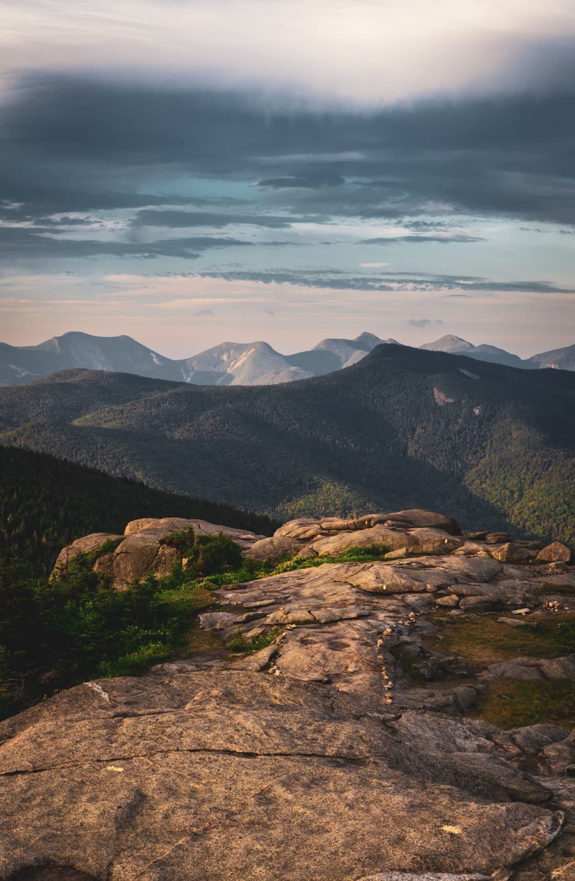
Central High Peaks
Marcy • Skylight • Gray • Colden • Redfield • Cliff • Phelps • Tabletop
The busy center of the High Peaks: Marcy, Lake Colden country, and several common combinations packed into one interior zone.
Common pairings
Cascade • Porter • Giant • Rocky Peak Ridge • Whiteface • Esther • Street • Nye
Some peaks naturally come in pairs or small sets. These are the ones many hikers use to understand the list before the bigger traverses.
Mount Marcy
Mount Marcy
Algonquin Peak
MacIntyre Range
Mount Haystack
Upper Great Range
Mount Skylight
Lake Colden Region
Whiteface Mountain
Whiteface and Esther
Dix Mountain
Dix Range
Gray Peak
Lake Colden Region
Iroquois Peak
MacIntyre Range
Basin Mountain
Upper Great Range
Gothics
Lower Great Range
Mount Colden
Lake Colden Region
Giant Mountain
Giant Mountain Wilderness
Nippletop
Colvin Range
Santanoni Peak
Santanoni Range
Mount Redfield
Lake Colden Region
Wright Peak
MacIntyre Range
Saddleback Mountain
Upper Great Range
Panther Peak
Santanoni Range
Tabletop Mountain
Phelps and Tabletop
Rocky Peak Ridge
Giant Mountain Wilderness
Macomb Mountain
Dix Range
Armstrong Mountain
Lower Great Range
Hough Peak
Dix Range
Seward Mountain
Seward Range
Mount Marshall
MacIntyre Range
Allen Mountain
Allen Mountain
Big Slide Mountain
Big Slide
Esther Mountain
Whiteface and Esther
Upper Wolfjaw
Lower Great Range
Lower Wolfjaw
Lower Great Range
Street Mountain
Street and Nye
Phelps Mountain
Phelps and Tabletop
Donaldson Mountain
Seward Range
Seymour Mountain
Seward Range
Sawteeth
Lower Great Range
Cascade Mountain
Cascade Range
South Dix
Dix Range
Porter Mountain
Cascade Range
Mount Colvin
Colvin Range
Mount Emmons
Seward Range
Dial Mountain
Colvin Range
Grace Peak
Dix Range
Blake Peak
Colvin Range
Cliff Mountain
Lake Colden Region
Nye Mountain
Street and Nye
Couchsachraga Peak
Santanoni Range
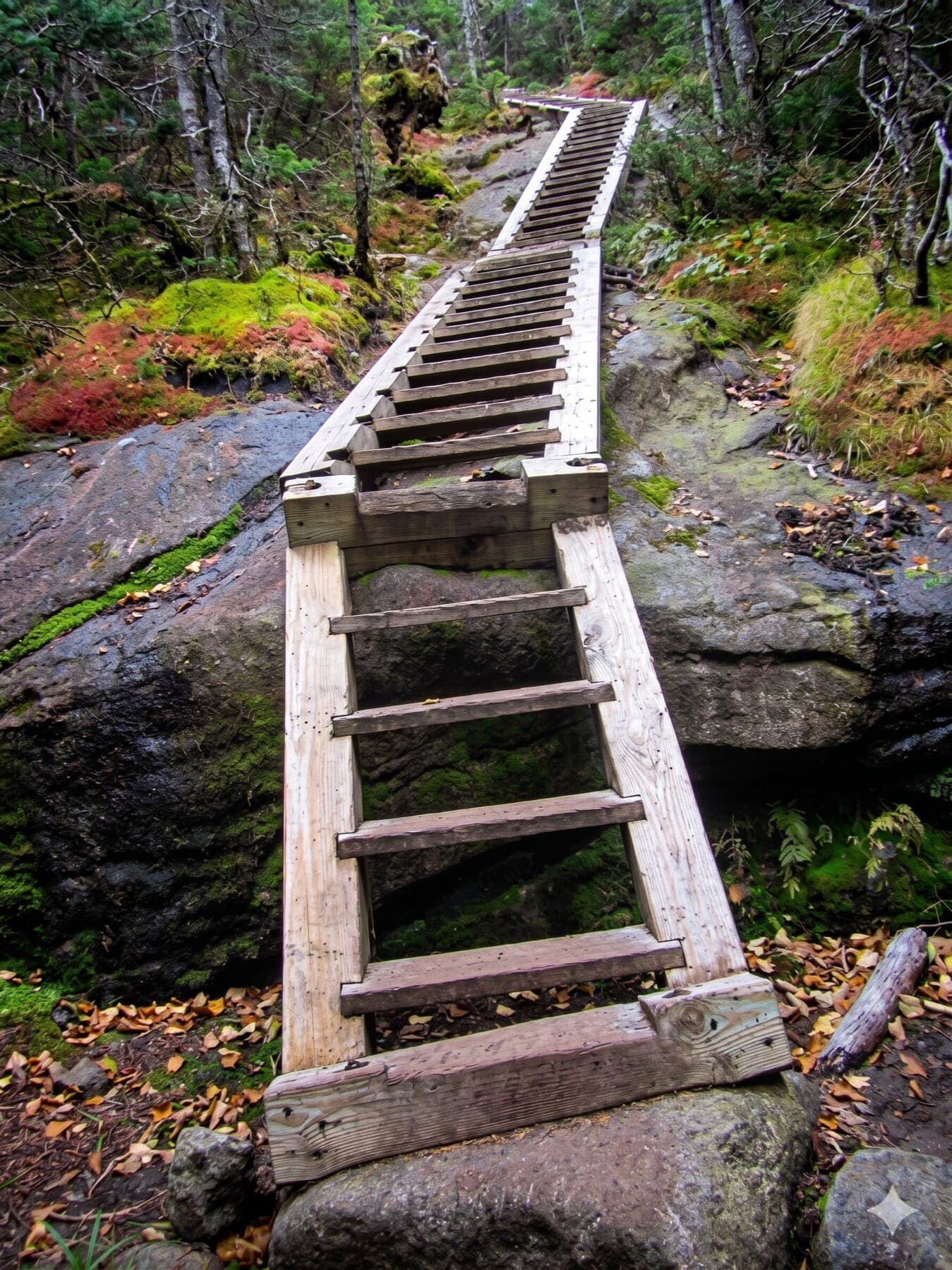
Steep sections
These are short sections where the trail pitches up fast. They are ranked by vertical gain over distance, not by how hard the full day feels.
A steep slide section on Macomb Mountain.
Gain
900 ft
Distance
0.35 mi
Grade
48.7%
A short, exposed, memorable climb on Gothics.
Gain
500 ft
Distance
0.2 mi
Grade
47.3%
A sustained ascent in the Seward region.
Gain
1,030 ft
Distance
0.45 mi
Grade
43.6%
A steep Dix Range approach section.
Gain
530 ft
Distance
0.23 mi
Grade
43.6%
Short, steep, exposed, and psychologically significant.
Gain
220 ft
Distance
0.10 mi
Grade
41.62%
Remote and steep from Panther Gorge.
Gain
1,050 ft
Distance
0.50 mi
Grade
39.7%
A punishing climb after a long approach.
Gain
1,050 ft
Distance
0.50 mi
Grade
39.7%
A hard climb above the Lake Colden region.
Gain
1,200 ft
Distance
0.60 mi
Grade
37.8%
The steep post-slide portion of the route.
Gain
1,500 ft
Distance
0.75 mi
Grade
37.8%
A steep climb from Elk Pass into the Colvin range.
Gain
1,100 ft
Distance
0.60 mi
Grade
34.5%
How we got 46
The first idea was simple: climb the Adirondack peaks believed to be above 4,000 feet. Later surveys showed a few were lower. By then the list had a life of its own, and the tradition stayed.
1925
Herb Clark and Bob and George Marshall completed the original 46 on Mount Emmons.
1936
Edward Hudowalski and Ernest Ryder helped create the early Forty-Sixers club in Troy.
1948
The organization broadened into the Adirondack Forty-Sixers, Inc.
Today
The 46 remain a traditional list, a hiking challenge, and a cultural thread through the High Peaks.
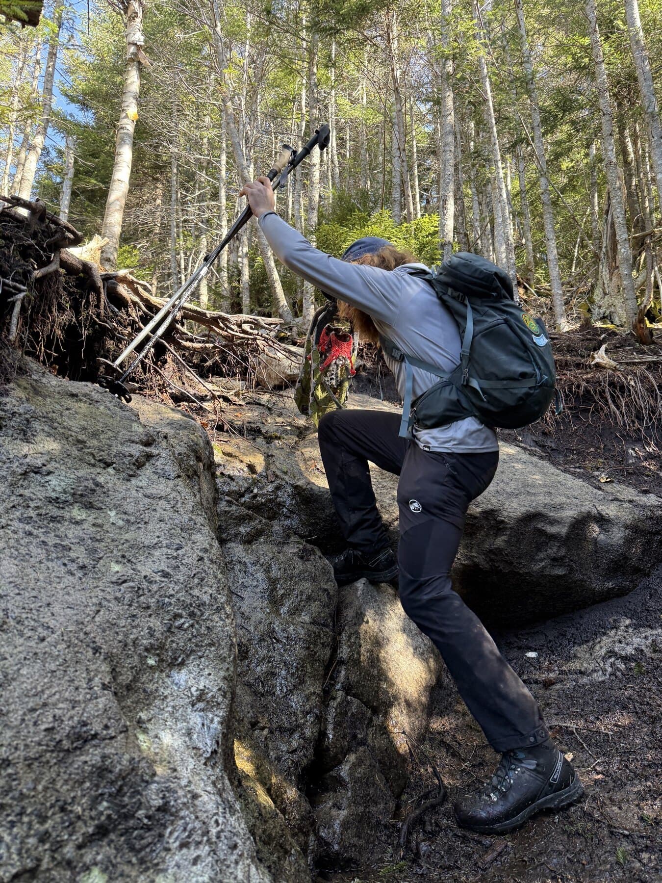
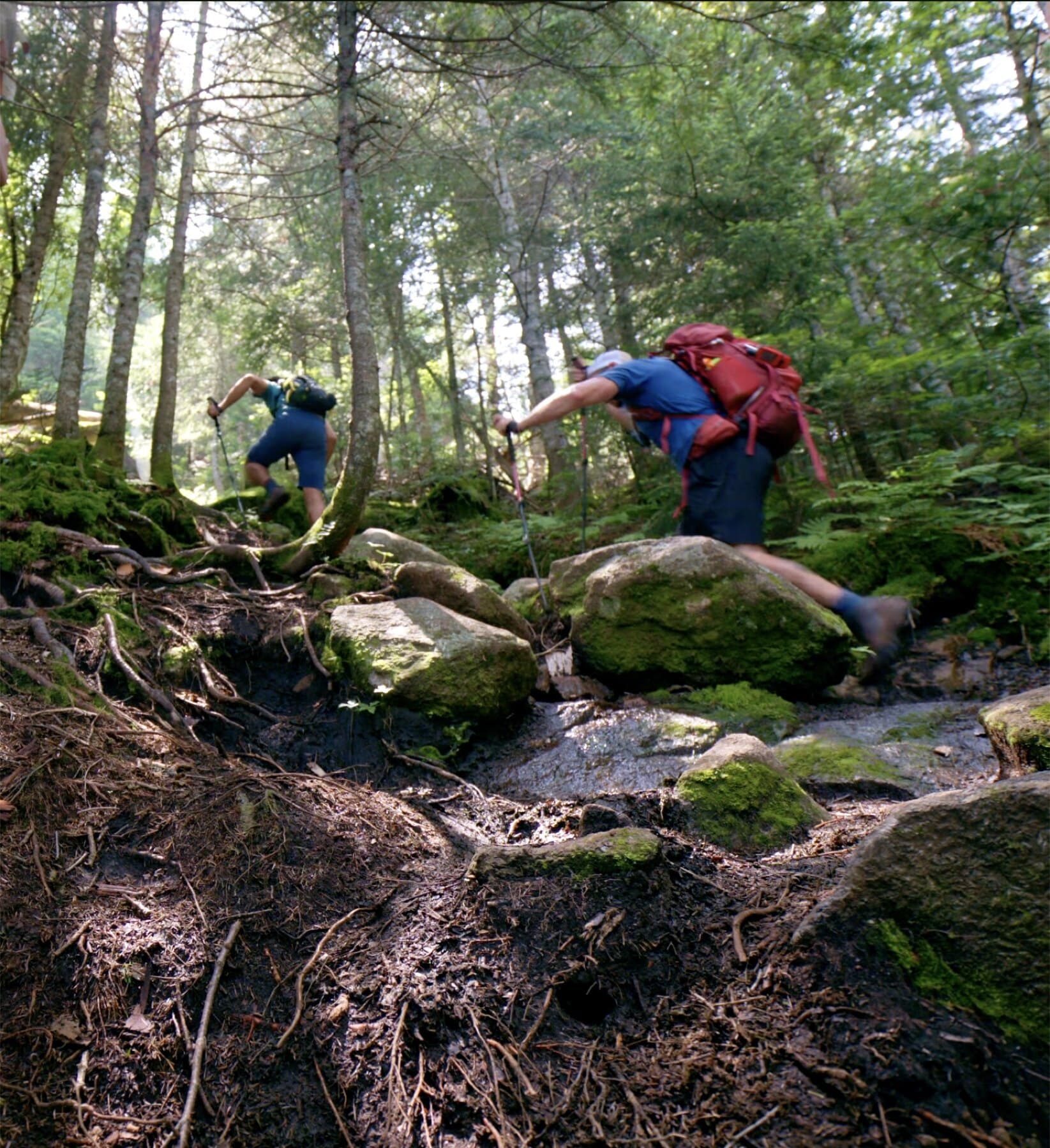
The 46er journey
The list gives you a goal. The real work is repeated: make better decisions, handle weather, manage fatigue, and come back with more respect for the range than you had at the start.
Before you chase numbers, learn where the peaks sit and which ones are usually hiked together.
Cascade, Porter, Giant, and Phelps are common starting points. They are still real mountain days.
Most 46er planning is pairs, ranges, trailheads, and bail-out decisions, not one neat summit at a time.
The summit is not the finish. Fatigue, daylight, weather, and rough footing often matter most after the high point is already behind you.
The list gives you a goal. The work is learning how to move through the High Peaks with better judgment each time.