Primary Route
Adirondack Loj via Lake Arnold out-and-back
Standard Route

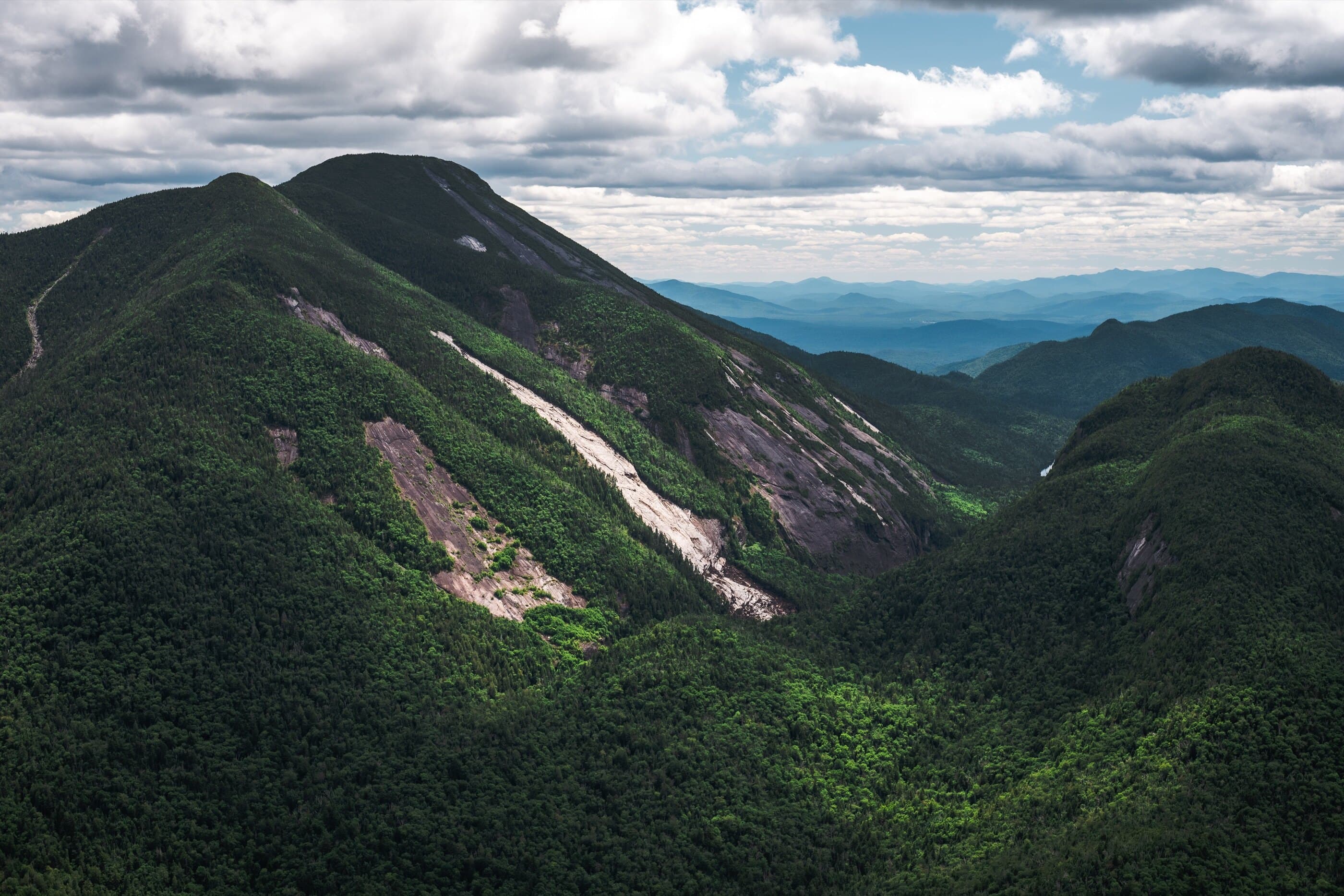
Mount Colden sits between Marcy and Algonquin and stands out for its dramatic slides, open summit ledges, and balanced-rock views, making it one of the most beautiful standalone 46er peaks in the central High Peaks.
Have photos of this hike?
Route map
Planning use
Use the route line and GPX as planning aids. Carry a physical map and verify current official conditions before relying on any route.
Open the Interactive 46 High Peaks MapColden History
Mount Colden was famously described by Alfred B. Street as “the most savage mountain” of the Adirondacks. Its maintained hiking routes tell two different eras of trail history: the steep Lake Colden Trail opened in 1923 under state forester Arthur S. Hopkins, while the Lake Arnold route was created in 1966 and named the L. Morgan Porter Trail after the long-serving Adirondack Mountain Club guidebook chairman. Colden’s first recorded summit ascent, in July 1849, is credited to Robert Clark and Alexander Ralph, employees of the McIntyre Iron Works, who climbed by way of the Trap Dike. The Trap Dike remains one of Colden’s defining historic features, but it is not a standard hiking route.
Primary Route
Standard Route
Route Overview
This is the shortest Mount Colden day. Start from Adirondack Loj, travel through Marcy Dam and Avalanche Camps, climb by Lake Arnold, then follow the yellow-marked Colden summit trail over the Northeast Peak to the true summit and balanced rock area. Return the same way for the 12.8-mile out-and-back.
Selected Route Access
Start at Adirondack Loj / HPIC. Parking is paid and fills early on busy High Peaks days.
Selected Route Caution
The Lake Arnold route still has rough footing, mud near Lake Arnold, ladders and stairways near the ridge, exposed summit terrain, and alpine vegetation that must be protected.
Selected Route Guidance
Full guide collapsed for quick scanning. 8 sections available.