Primary Route
Upper Works via Calamity Brook and Herbert Brook
Standard Route

Mount Marshall is a wild interior High Peak at the southern end of the MacIntyre Range, most commonly climbed from Upper Works by following the Calamity Brook approach to the unmarked Herbert Brook herd path.
Have photos of this hike?
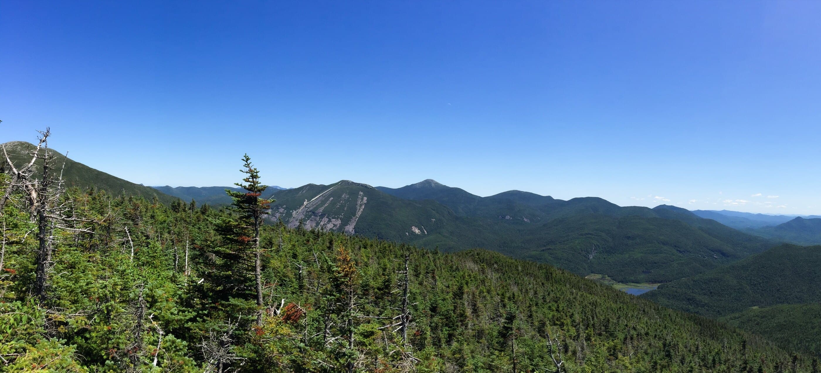
Route map
Planning use
Use the route line and GPX as planning aids. Carry a physical map and verify current official conditions before relying on any route.
Open the Interactive 46 High Peaks MapHow Marshall Got Its Name
Mount Marshall’s name has changed with High Peaks history. Bob Marshall, his brother George, and guide Herb Clark first named the then-unnamed summit Herbert Peak, honoring Clark. The mountain was later known as Mount Clinton after former New York Governor DeWitt Clinton. In 1942, supporters petitioned to rename it for Bob Marshall, whose Adirondack explorations, early guidebook work, and role in cofounding the Wilderness Society helped shape the way many hikers understand wild places. The modern route still fits that legacy: a long marked approach, wet interior forest, and an unmarked final climb beside Herbert Brook.
Primary Route
Standard Route
Route Overview
The standard route starts at Upper Works, follows the Calamity Brook approach toward Flowed Lands, then leaves the marked trail for the unmarked Herbert Brook herd path to Mount Marshall.
Selected Route Access
Start from Upper Works. This is the standard Marshall approach and the cleanest way to reach the Herbert Brook herd path from the south side of the High Peaks.
Selected Route Caution
Check current DEC conditions for the Calamity Brook High-Water Bridge before using the Upper Works approach, especially after rain, snowmelt, or high-water periods. A washed-out bridge can change whether this route is practical.
Selected Route Guidance
Full guide collapsed for quick scanning. 7 sections available.