Primary Route
Upper Works via Calamity Brook and Uphill Lean-to
Standard Route

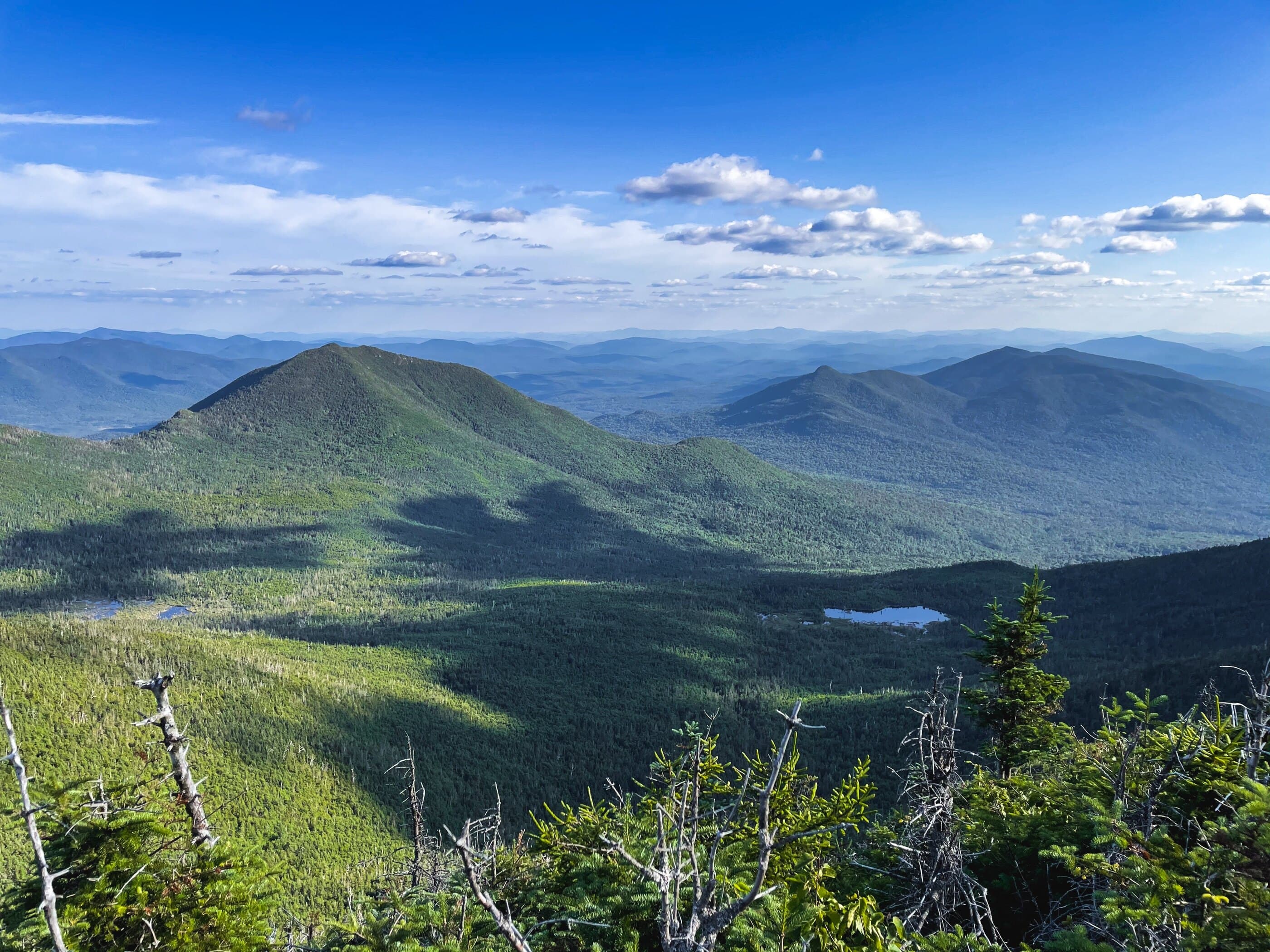
Redfield and Cliff are a rugged Lake Colden region pair usually climbed together from Upper Works, where a long Calamity Brook approach leads to wet, eroded, unmarked summit routes above Uphill Lean-to.
Have photos of this hike?
Route map
Planning use
Use the route line and GPX as planning aids. Carry a physical map and verify current official conditions before relying on any route.
Open the Interactive 46 High Peaks MapRoute History
Mount Redfield was named by Verplanck Colvin for William C. Redfield, a scientist, explorer, and early Adirondack enthusiast whose observations contributed to American science. Cliff Mountain tells a different story: its cliffs and east face gave it a clear physical identity, but its measured elevation gradually fell from early 4,000-foot assumptions to a sub-4,000-foot summit on later maps. Bob and George Marshall, along with guide Herb Clark, originally missed Cliff while pursuing the High Peaks and later returned for it. Colvin named Cliff in 1872 after seeing its east face from Redfield, and Arthur Hopkins may have made its first true ascent in 1917.
Primary Route
Standard Route
Route Overview
The standard Redfield and Cliff route starts at Upper Works, follows Calamity Brook to Flowed Lands and Lake Colden, continues to Uphill Lean-to, climbs Cliff first, returns to the fork, then climbs Redfield before the long exit.
Selected Route Access
Start from Upper Works and follow the Calamity Brook approach toward Flowed Lands, Lake Colden, and Uphill Lean-to. This is the cleaner and more direct standard route for the pair.
Selected Route Caution
Check current DEC conditions for the Calamity Brook High-Water Bridge before using the Upper Works approach. Beyond the Uphill Lean-to turn, the summit routes are unmarked, wet, muddy, eroded, and slow, with rough scrambles on Cliff.
Selected Route Guidance
Full guide collapsed for quick scanning. 8 sections available.