Primary Route
AMR Weld Trail out-and-back
Standard Route

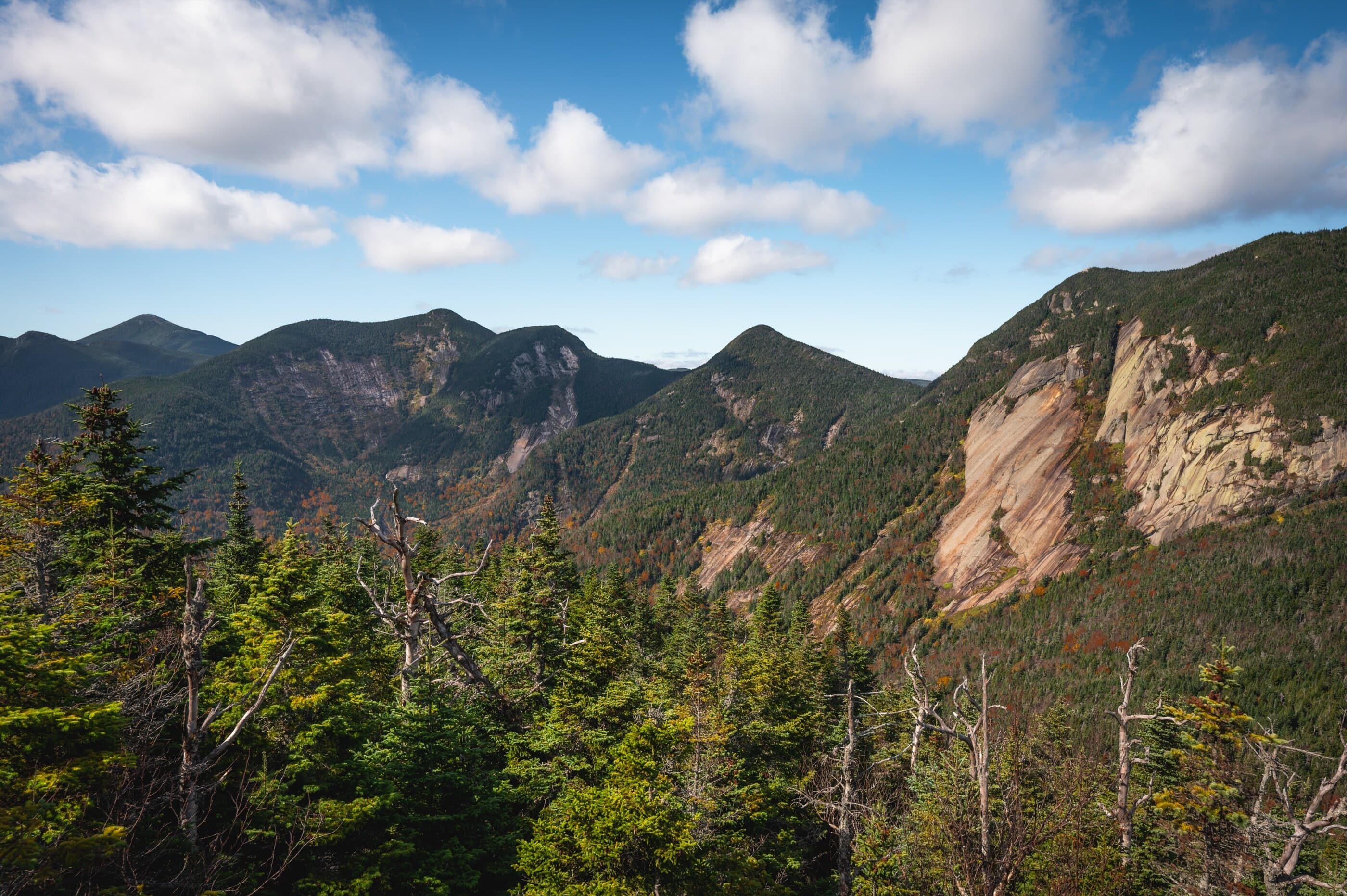
Sawteeth is the jagged Lower Great Range peak above Lower Ausable Lake, usually climbed from AMR by the practical Weld Trail or the rougher Scenic Route.
Have photos of this hike?
Route map
Planning use
Use the route line and GPX as planning aids. Carry a physical map and verify current official conditions before relying on any route.
Open the Interactive 46 High Peaks MapRoute History
Sawteeth was named in the 1850s for the saw-like shape that gives the mountain its identity. Older maps later showed a translated name, Resigonia, meaning “Big Saw,” but the direct descriptive name endured. The Scenic Route adds historical character as the original route cut up the mountain, while the Weld Trail is the more direct modern way to reach Sawteeth from the AMR side.
Primary Route
Standard Route
Route Overview
This standard route uses Lake Road and the red-marked Weld Trail both ways. It passes Rainbow Falls, climbs steadily to the Pyramid / Gothics junction, then turns left for the final half mile to Sawteeth.
Selected Route Access
Use AMR / St. Huberts and Lake Road to reach the red-marked Weld Trail approach near Lower Ausable Lake. This is the direct standard route for Sawteeth.
Selected Route Caution
The Weld Trail is the practical Sawteeth route, but the AMR approach, Lake Road mileage, and upper climb still make it a real High Peaks day. Confirm AMR access rules before using this route.
Selected Route Guidance
Full guide collapsed for quick scanning. 9 sections available.