Primary Route
Seward, Donaldson, and Emmons via Coreys Road
Standard Route

The Seward Range is one of the most remote and rugged High Peaks objectives, linking long Coreys Road approach miles, wet herd paths, and the isolated western character of Seward, Donaldson, Emmons, and Seymour.
Have photos of this hike?
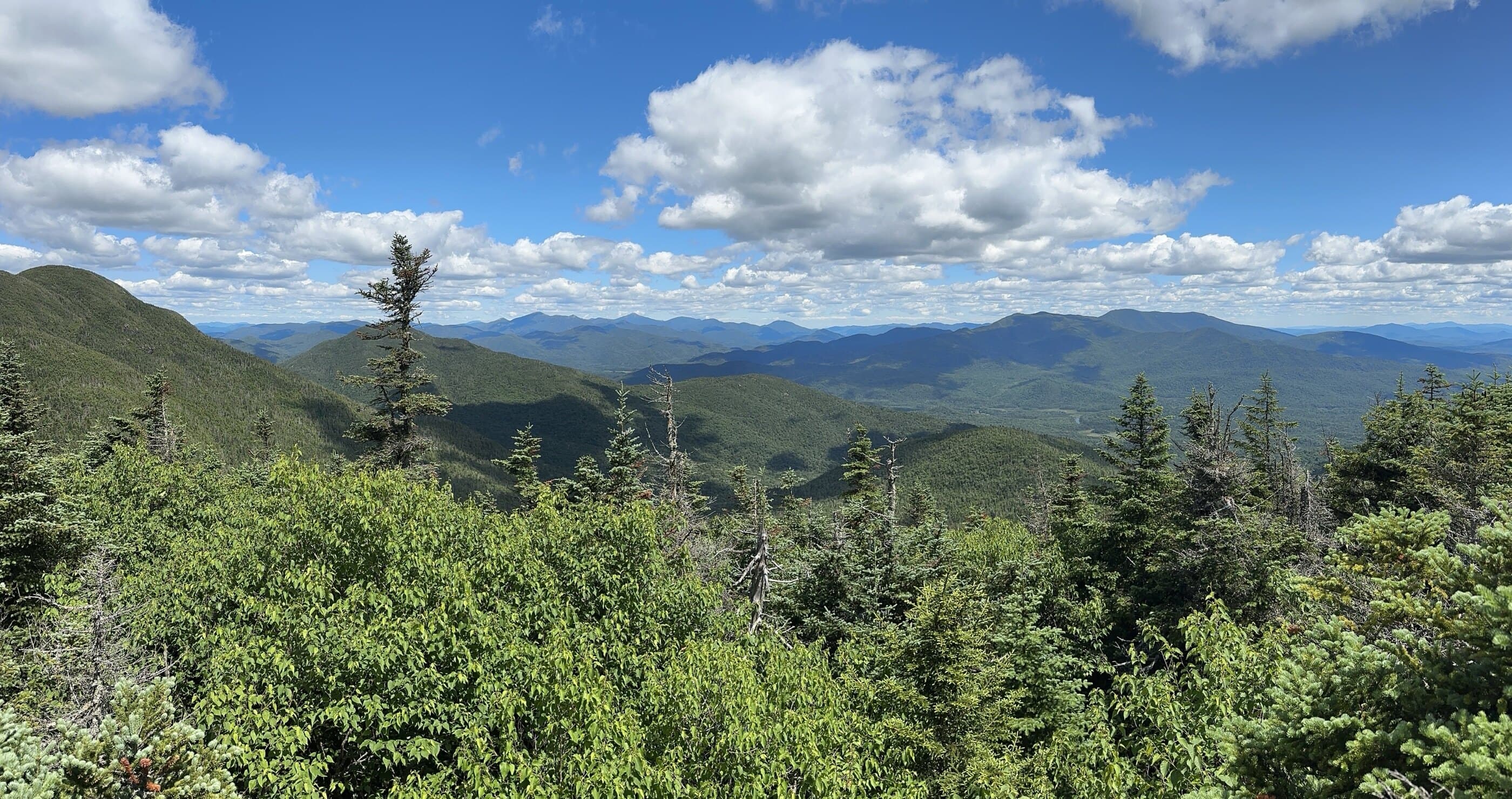
Route map
Planning use
Use the route line and GPX as planning aids. Carry a physical map and verify current official conditions before relying on any route.
Open the Interactive 46 High Peaks MapRoute History
The Seward Range has always carried a rougher, more remote identity than the central High Peaks. Seward itself was once believed to be much taller, with Ebenezer Emmons estimating it around 5,100 feet in 1837 before Verplanck Colvin and guide Alvah Dunning corrected the height to 4,361 feet in 1870. The region was later heavily logged by the Santa Clara Lumber Company, and although the forest has been reclaiming itself for decades, that old logging history still shapes the feel of the range. Seymour adds its own story: early ascent history is debated, the mountain was once called Ragged Mountain, and its modern name honors former New York governor Horatio Seymour.
Primary Route
Standard Route
Route Overview
The primary Seward Range route starts from Coreys Road, follows Blueberry Trail and Ward Brook Truck Trail, climbs Seward first, traverses to Donaldson and Emmons, then returns to the Calkins Brook cutoff for the descent.
Selected Route Access
Follow the Blueberry Trail from Coreys Road. The approach is marked, including red approach markers in this corridor, but the main mountain climbing happens on unmarked herd paths.
Selected Route Caution
This is a wet, rugged, unmarked High Peaks route with scarce water, deep mud, steep rock, and a demanding Seward ascent. The climb up Seward gains roughly 2,300 feet over 2.3 miles, and the Calkins Brook descent is narrow, muddy, loose, and often overgrown.
Selected Route Guidance
Full guide collapsed for quick scanning. 6 sections available.