Primary Route
ASRC to Esther and Whiteface
Standard Route

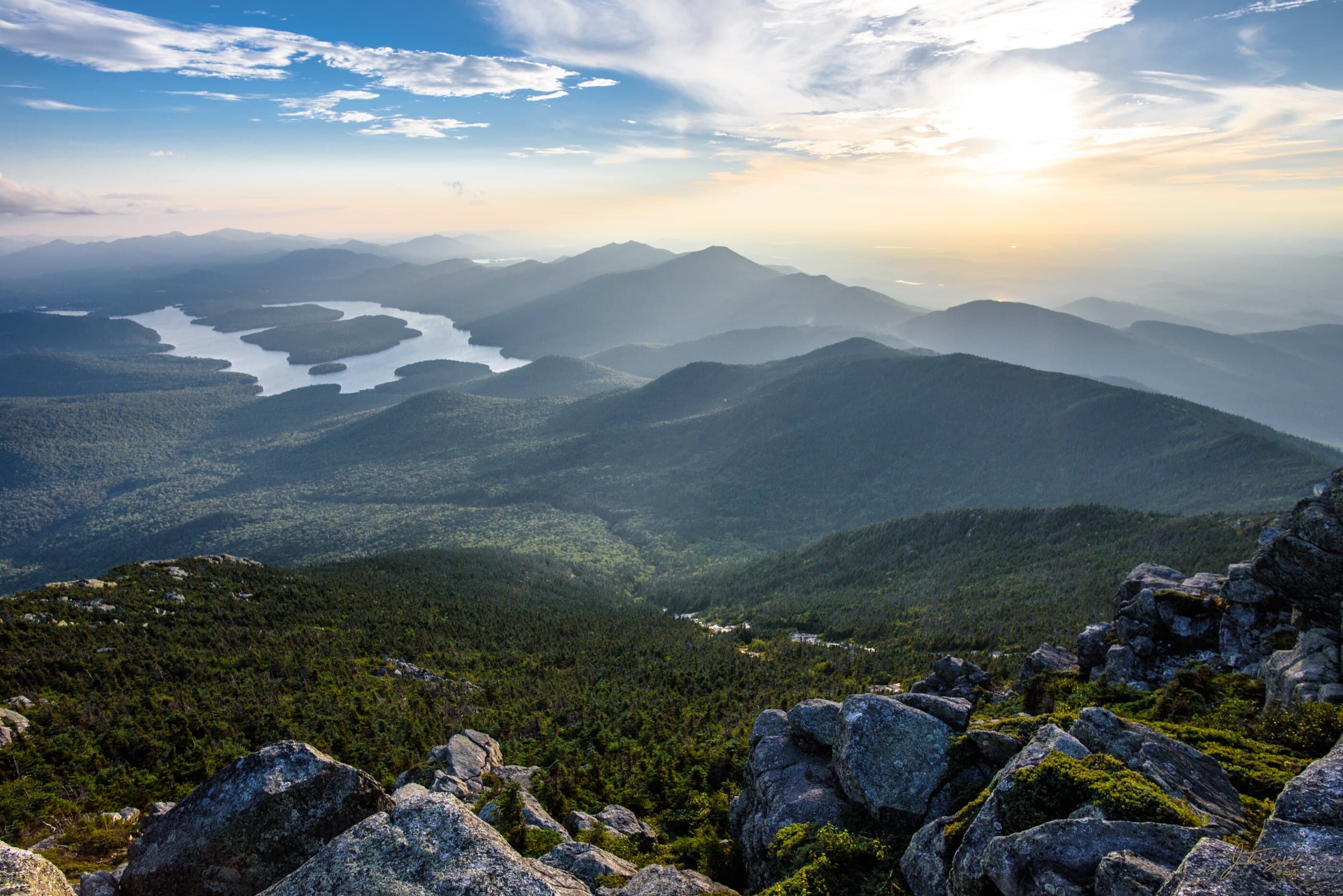
Whiteface and Esther sit apart from the central High Peaks, pairing a steep Wilmington-side climb and exposed summit ridge with Esther’s rough, quieter side path.
Have photos of this hike?
Route map
Planning use
Use the route line and GPX as planning aids. Carry a physical map and verify current official conditions before relying on any route.
Open the Interactive 46 High Peaks MapRoute History
Whiteface has one of the most unusual histories in the High Peaks. It may have been noticed from Montreal by Jacques Cartier in 1535, and early settlers later believed it might be the tallest mountain in the region. Ebenezer Emmons made the first officially recorded ascent in 1836, and the Veterans Memorial Highway opened in 1935 after construction tied to Franklin D. Roosevelt. Esther carries a different kind of history: the Esther McComb story is part of 46er lore, but the details are uncertain enough that the mountain’s modern identity rests as much on its rugged side path as on the legend.
Primary Route
Standard Route
Route Overview
This standard route starts at ASRC, climbs Marble Mountain, visits Esther by the unmarked side path, returns to the main route, then continues to Whiteface by the toll road and exposed summit ridge.
Selected Route Access
Start from the ASRC parking loop and look for the unmarked rocky connector into the woods. This is the quickest and most traveled way to combine Whiteface and Esther.
Selected Route Caution
The Wilmington-side climb is steep, and Whiteface’s upper ridge can be cold, windy, wet, and exposed. Esther is reached by an unmarked side path, so do not treat the pair as a simple marked-trail summit walk.
Selected Route Guidance
Full guide collapsed for quick scanning. 11 sections available.