
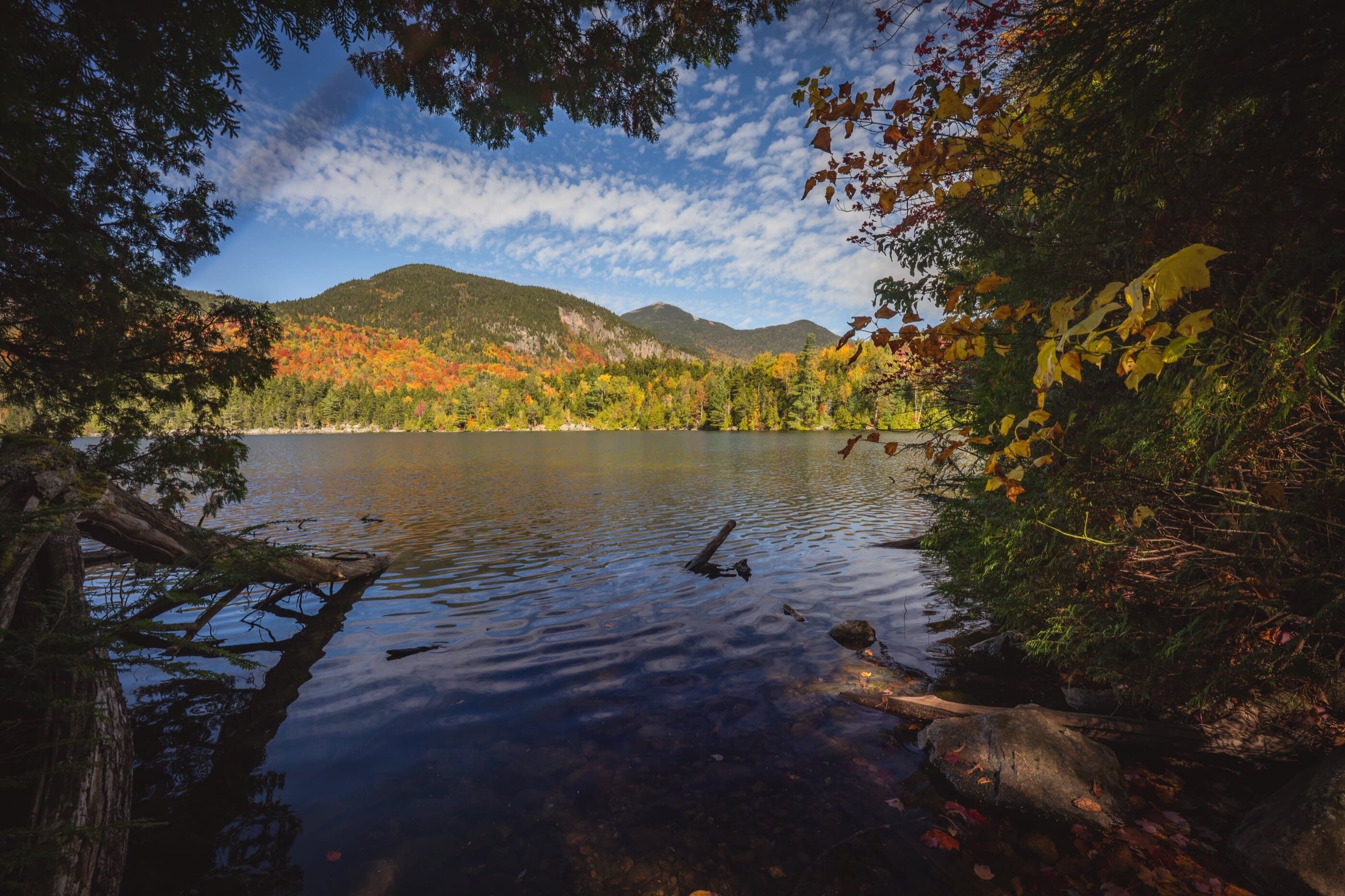

Copperas Pond
Northern Region • Northern Region
Copperas Pond is a short Sentinel Range Wilderness hike to a clear pond, lean-to, campsites, and optional pond-to-pond extensions.
Photo Gallery
Have photos of this hike?
Destination map
Copperas Pond
Map note
This map marks the hiking objective itself.
Route files
Route lines and GPX downloads are available only for selected launch routes. Most destination maps will remain objective-only until a later version.
Route Guidance
Trail Overview
Copperas Pond is a short but rewarding hike in the Sentinel Range Wilderness between Lake Placid and Wilmington. The most direct route climbs from State Route 86 to the pond in about half a mile, while the longer Owen Pond and Copperas Pond Trail connects two Route 86 trailheads and can be extended toward Winch Pond. Hikers go for the clear water, quiet shoreline, lean-to setting, and easy access from Wilmington Notch. It is short, but the direct climb is steep enough to feel like a real hike.