

Dial Mountain
High Peaks Region • High Peaks Region
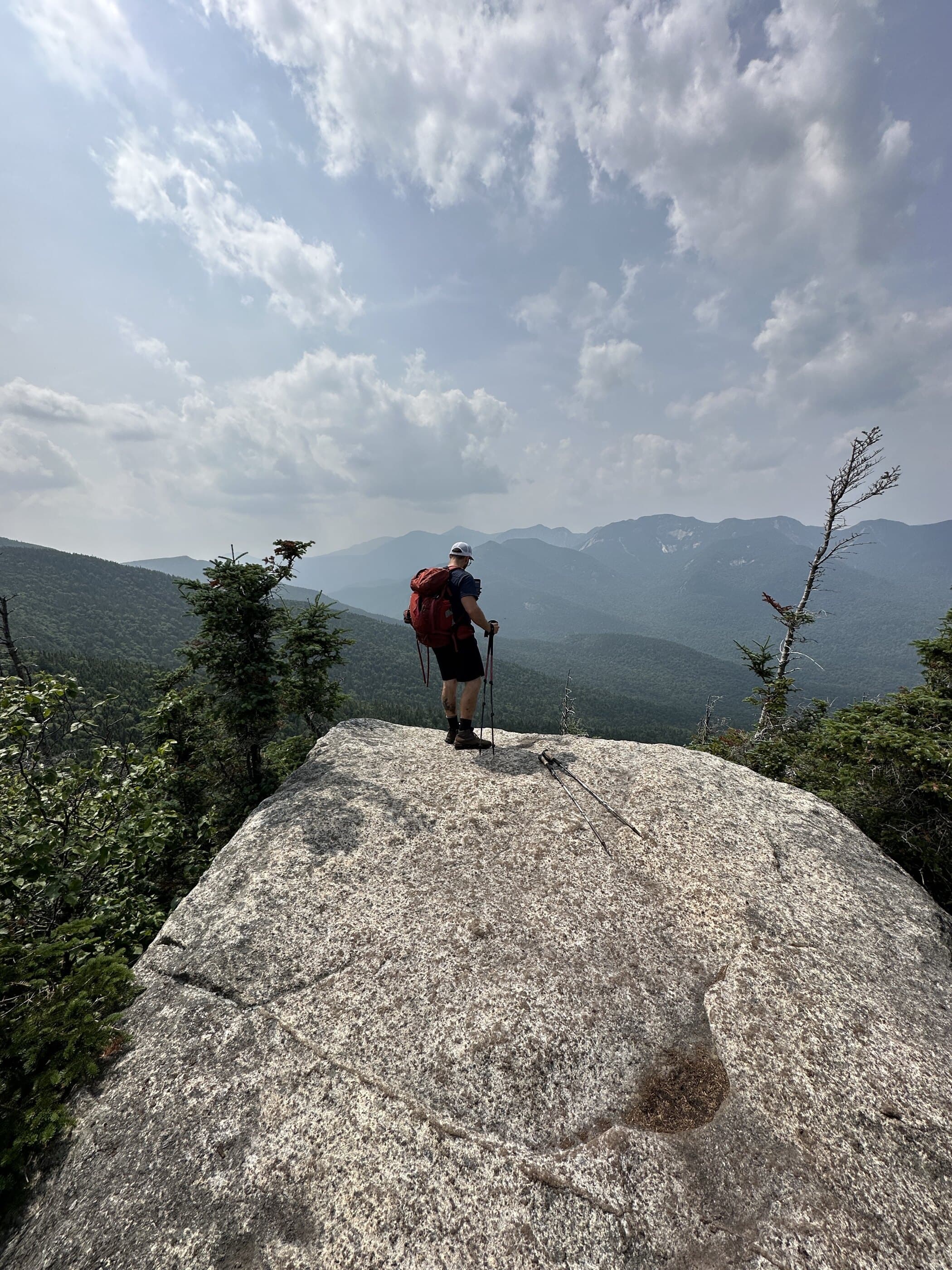
Dial Mountain is commonly reached on the Nippletop and Dial loop from AMR, with ridge walking and west facing views.
Photo Gallery
Have photos of this hike?
Destination map
Dial Mountain
Map note
This map marks the hiking objective itself.
Route files
Route lines and GPX downloads are available only for selected launch routes. Most destination maps will remain objective-only until a later version.
Doing the 46?
See the Nippletop & Dial guide.
Open the Nippletop and Dial guide to understand the AMR, Gill Brook, Elk Pass, and Leach Trail loop.
Route Guidance
Trail Overview
Dial Mountain is usually part of the Nippletop and Dial loop, reached by the long AMR ridge system above Lake Road. It is not the highest point of the day, but it turns the outing into a full ridge traverse over Bear Den and Noonmark Shoulder.
Cautions
Dial adds sustained ridge mileage, rolling climbs, and a long AMR exit. Weather, daylight, and AMR access rules should drive whether you attempt it alone or as part of the full Nippletop loop.