
Gray Peak
High Peaks Region • High Peaks Region
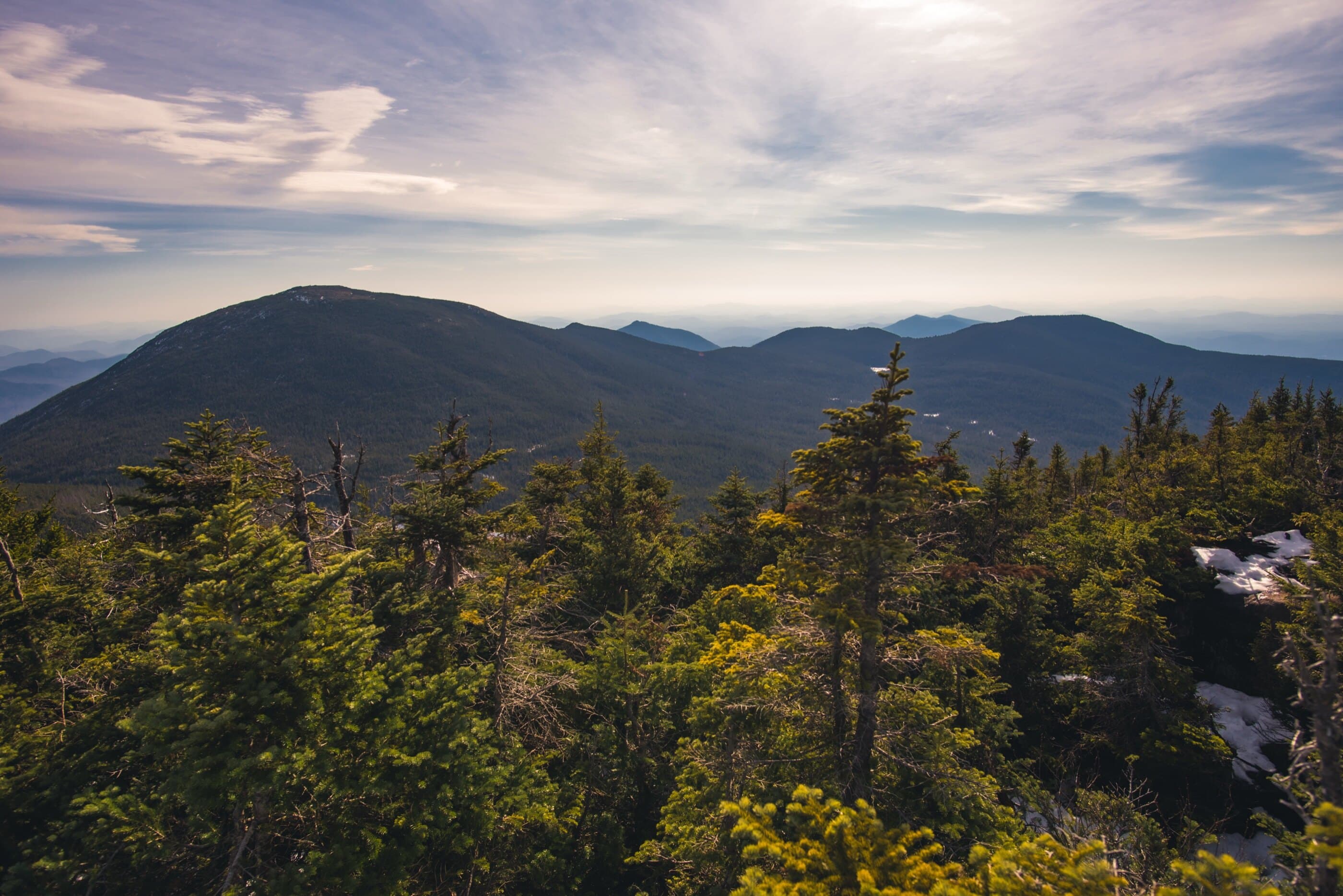
Gray Peak is a remote Marcy area 46er reached by a steep herd path from Lake Tear of the Clouds.
Photo Gallery
Have photos of this hike?
Destination map
Gray Peak
Map note
This map marks the hiking objective itself.
Route files
Route lines and GPX downloads are available only for selected launch routes. Most destination maps will remain objective-only until a later version.
Doing the 46?
See the Marcy, Skylight & Gray guide.
Compare the common grouping overview for Marcy, Skylight, and Gray before planning this part of a 46er round.
Route Guidance
Trail Overview
Gray Peak is a wooded High Peak near Lake Tear of the Clouds, usually climbed as part of the Marcy, Skylight, and Gray combination. It is short from the herd-path start, but the approach is long and the route is rougher than the distance suggests.
Access
Adirondack Loj / HPIC is a paid, high-use High Peaks gateway; the lot often fills early on busy days.
Cautions
Gray uses an unmarked herd path after a long approach. Mud, wet footing, route-finding, and fatigue can matter more than the short summit distance from Lake Tear.