

Marcy Dam
High Peaks Region • High Peaks Region
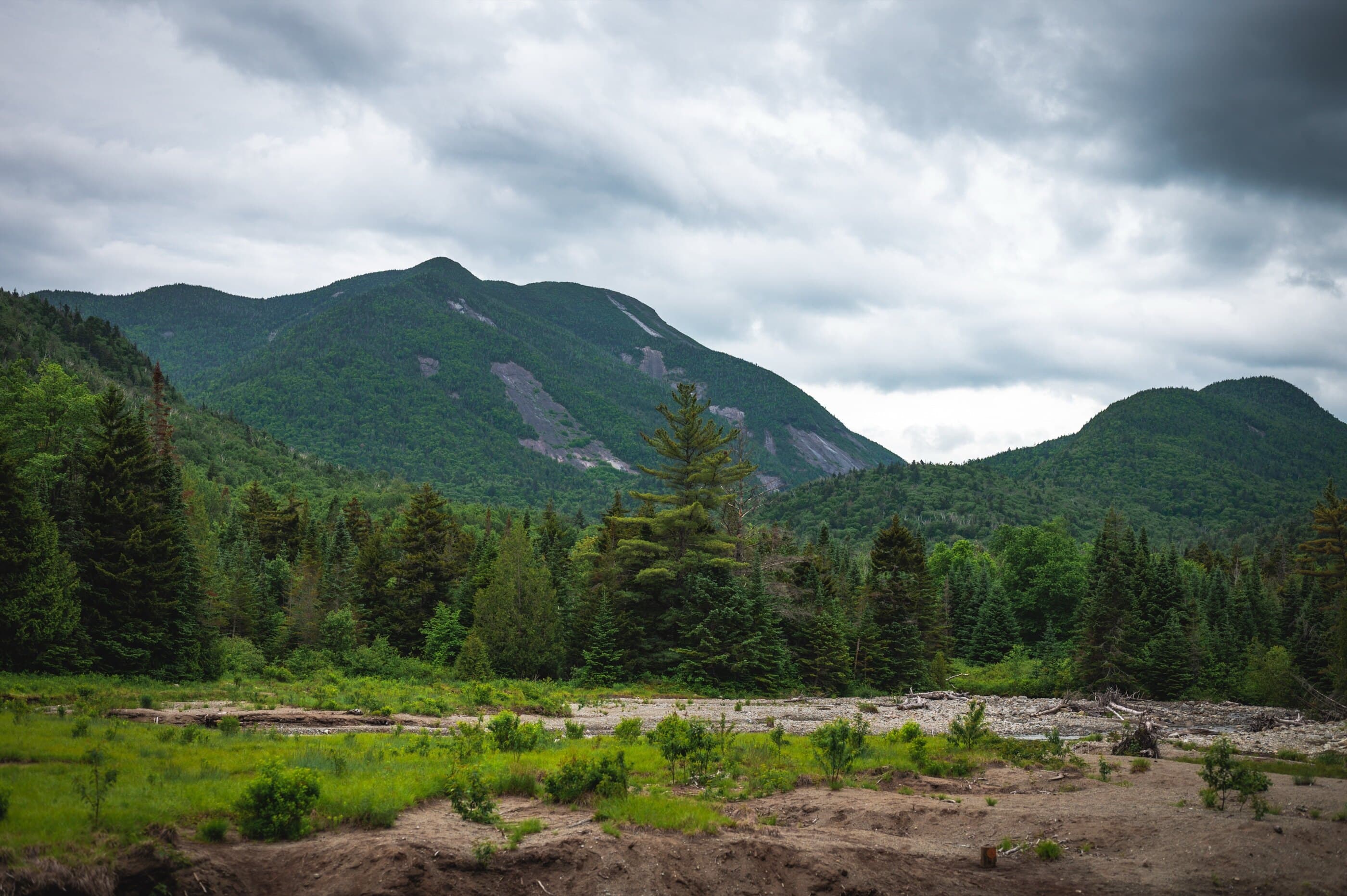
Marcy Dam is a classic High Peaks gateway hike from Adirondack Loj, leading to campsites, junctions, and open views below Colden.
Photo Gallery
Have photos of this hike?
Destination map
Marcy Dam
Map note
This map marks the hiking objective itself.
Route files
Route lines and GPX downloads are available only for selected launch routes. Most destination maps will remain objective-only until a later version.
Route Guidance
Trail Overview
Marcy Dam is one of the most important trail hubs in the High Peaks, reached by a moderate approach from Adirondack Loj and the High Peaks Information Center. The destination sits at the former dam site below Mount Colden and connects hikers toward Avalanche Pass, Lake Arnold, Phelps, Tabletop, Mount Marcy, and other major routes. As a standalone hike, it offers a manageable woods walk, High Peaks atmosphere, camping infrastructure, and a sense of entering the interior wilderness without committing to a summit.
Access
Adirondack Loj / HPIC is a paid, high-use High Peaks gateway; the lot often fills early on busy days.