
Primary Route
From Route 73 via Cascade Mountain Trail
Primary Route

High Peaks Region • High Peaks Region
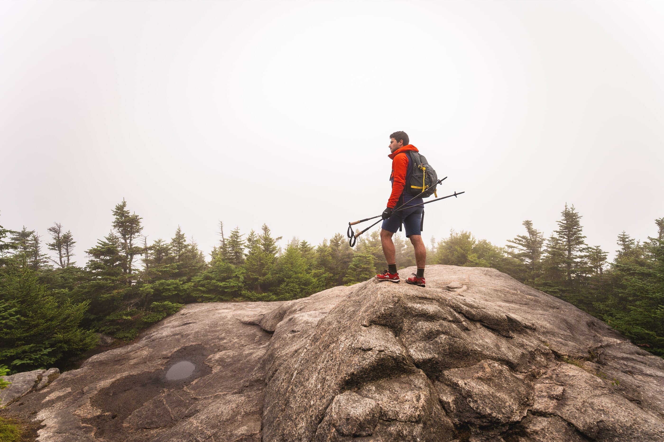
Porter Mountain is a lower profile 46er usually paired with Cascade, with supported access from Route 73 and Mount Van Hoevenberg.
Have photos of this hike?
Destination map
Map note
This map marks the hiking objective itself.
Route files
Route lines and GPX downloads are available only for selected launch routes. Most destination maps will remain objective-only until a later version.
Doing the 46?
Open the Cascade and Porter guide to understand the shared Route 73 approach, upper junction, and Porter side trip.
Primary Route
Primary Route
Primary Route
Follow the Cascade Mountain Trail from Route 73 to the upper junction, then take the Porter side trail to Porter’s summit. Return to the junction before climbing Cascade or descending to Route 73.
Selected route caution
Porter adds mileage, mud, and a second summit to the Cascade outing. Treat it as part of the full route plan, not as an automatic add-on in poor weather or fading daylight.
Route Guidance
Porter Mountain is most often climbed with Cascade from the Route 73 trailhead, adding a quieter wooded summit from the upper junction. It has less summit drama than Cascade, but mud, mileage, and the return climb still make it part of a real two-peak day.
Route Options
Porter Mountain has 2 route options shown here. Compare trailheads, mileage, gain, and access notes before choosing an approach.
Access
Use designated Route 73 parking only; this area fills early and roadside restrictions may apply.
Cautions
Porter adds mileage, mud, and a second summit to the Cascade outing. Treat it as part of the full route plan, not as an automatic add-on in poor weather or fading daylight.