

Raquette River Falls
Northern Region • Northern Region
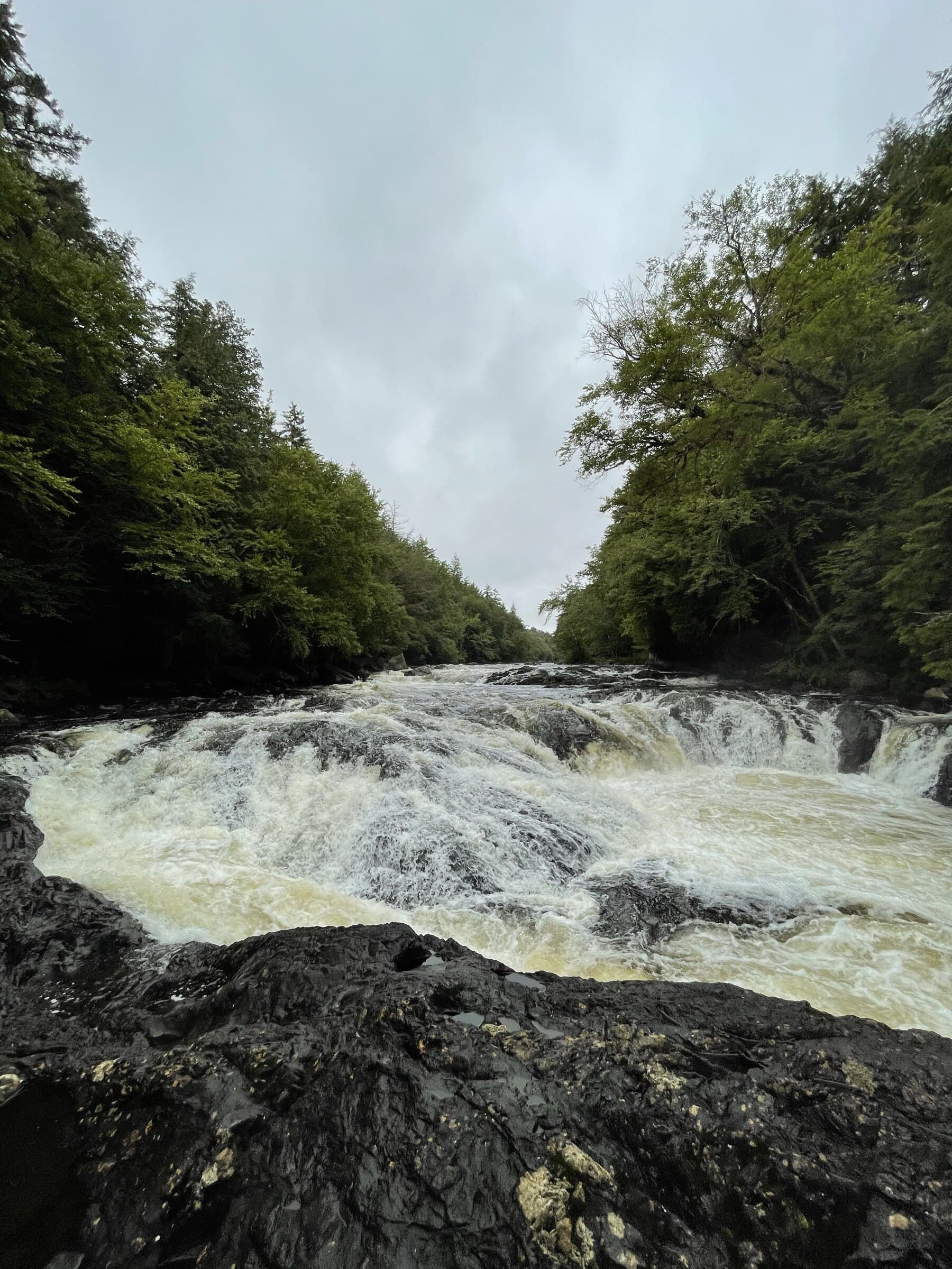
Raquette River Falls is a long, rolling backcountry river hike from Coreys Road to a pair of remote waterfalls.
Photo Gallery
Have photos of this hike?
Destination map
Raquette River Falls
Map note
This map marks the hiking objective itself.
Route files
Route lines and GPX downloads are available only for selected launch routes. Most destination maps will remain objective-only until a later version.
Route Guidance
Trail Overview
Raquette River Falls is reached by a longer backcountry route from Coreys Road near Tupper Lake. The trail follows rolling forest terrain and sections near the Raquette River toward the DEC outpost and the lower and upper falls area. Hikers choose it for the river corridor, lean-to and camping context, and the sense of entering a quieter western edge of the High Peaks Wilderness. The route is moderate in grade but longer than many casual waterfall hikes, so the total distance and remote setting matter more than steep climbing.
Access
Primary Seward Range hub. Verify parking lot/trailhead coordinate. Signed roadside lot on the north side of NY-3; fills early on busy days.