

Algonquin Peak
High Peaks Region • High Peaks Region
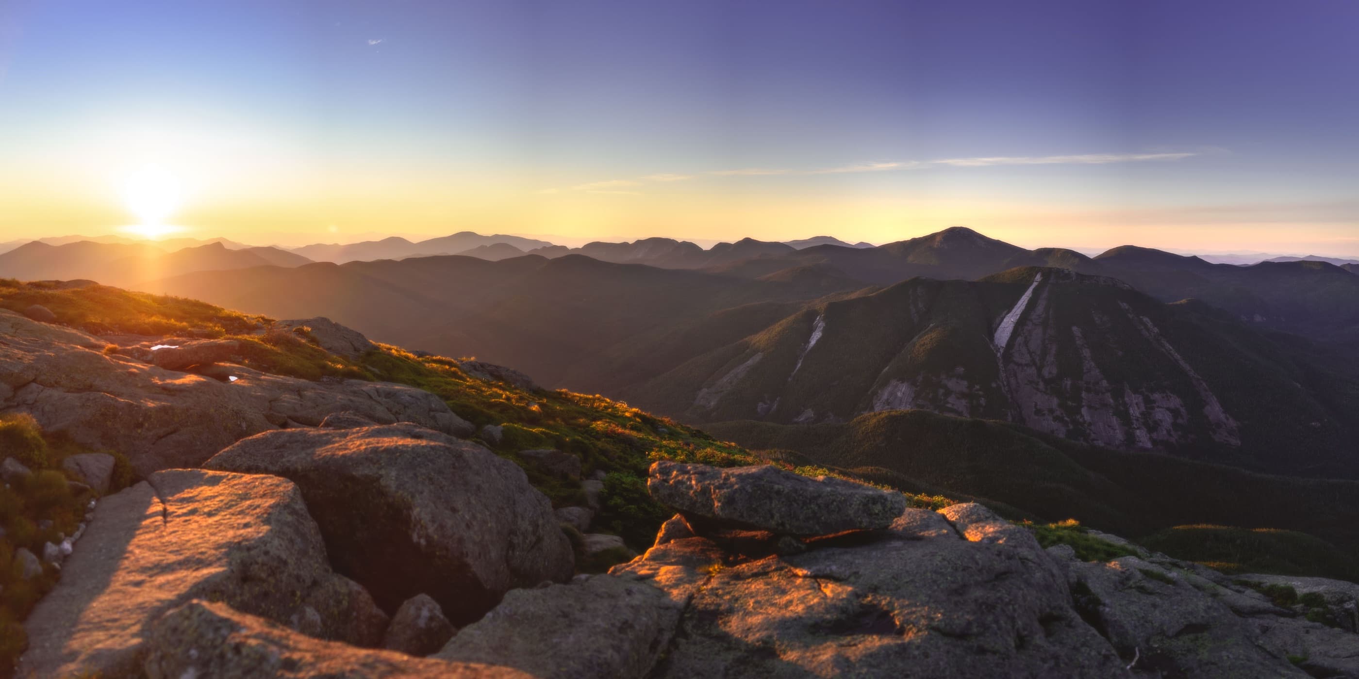
Algonquin Peak is New York’s second-highest summit, climbed from Adirondack Loj on a steep MacIntyre Range route with exposed alpine terrain.
Photo Gallery
Have photos of this hike?
Destination map
Algonquin Peak
Map note
This map marks the hiking objective itself.
Route files
Route lines and GPX downloads are available only for selected launch routes. Most destination maps will remain objective-only until a later version.
Doing the 46?
See the MacIntyre Range guide.
Open the MacIntyre Range guide to compare Wright, Algonquin, and Iroquois as one Loj-based range day.
Route Guidance
Trail Overview
Algonquin Peak is the high, exposed anchor of the MacIntyre Range, reached most often from Adirondack Loj by a steep climb past Wright Peak. The summit gives one of the strongest alpine-feeling High Peaks payoffs, but weather, wind, and footing can change the day quickly.
Access
Adirondack Loj / HPIC is a paid, high-use High Peaks gateway; the lot often fills early on busy days.
Cautions
Algonquin has exposed upper terrain and fast-changing summit weather. Treat wind, cloud, ice, and wet rock seriously, and turn back before the open summit if conditions deteriorate.