
Couchsachraga Peak
High Peaks Region • High Peaks Region
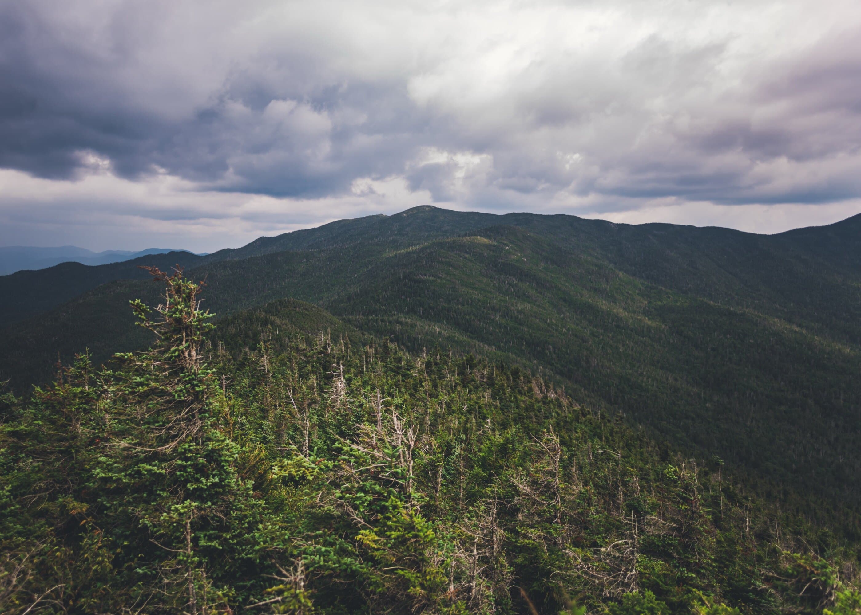
Couchsachraga Peak is the Santanoni Range’s remote, muddy, view-limited summit, usually reached as a long Times Square out-and-back.
Photo Gallery
Have photos of this hike?
Destination map
Couchsachraga Peak
Map note
This map marks the hiking objective itself.
Route files
Route lines and GPX downloads are available only for selected launch routes. Most destination maps will remain objective-only until a later version.
Doing the 46?
See the Santanoni Range guide.
Open the Santanoni Range guide to understand Panther, Santanoni, Couchsachraga, Times Square, and the Bradley Pond approach.
Route Guidance
Trail Overview
Couchsachraga Peak is the lowest and most notorious summit in the Santanoni Range, reached by a long side trip from the range herd-path system. Its challenge comes less from elevation and more from mud, distance, and the return climb back toward the main range.
Cautions
Couchsachraga adds a long, muddy side trip and a required return climb to the Santanoni Range route. Do not add it unless the group has enough daylight, water, and energy for the full exit.