
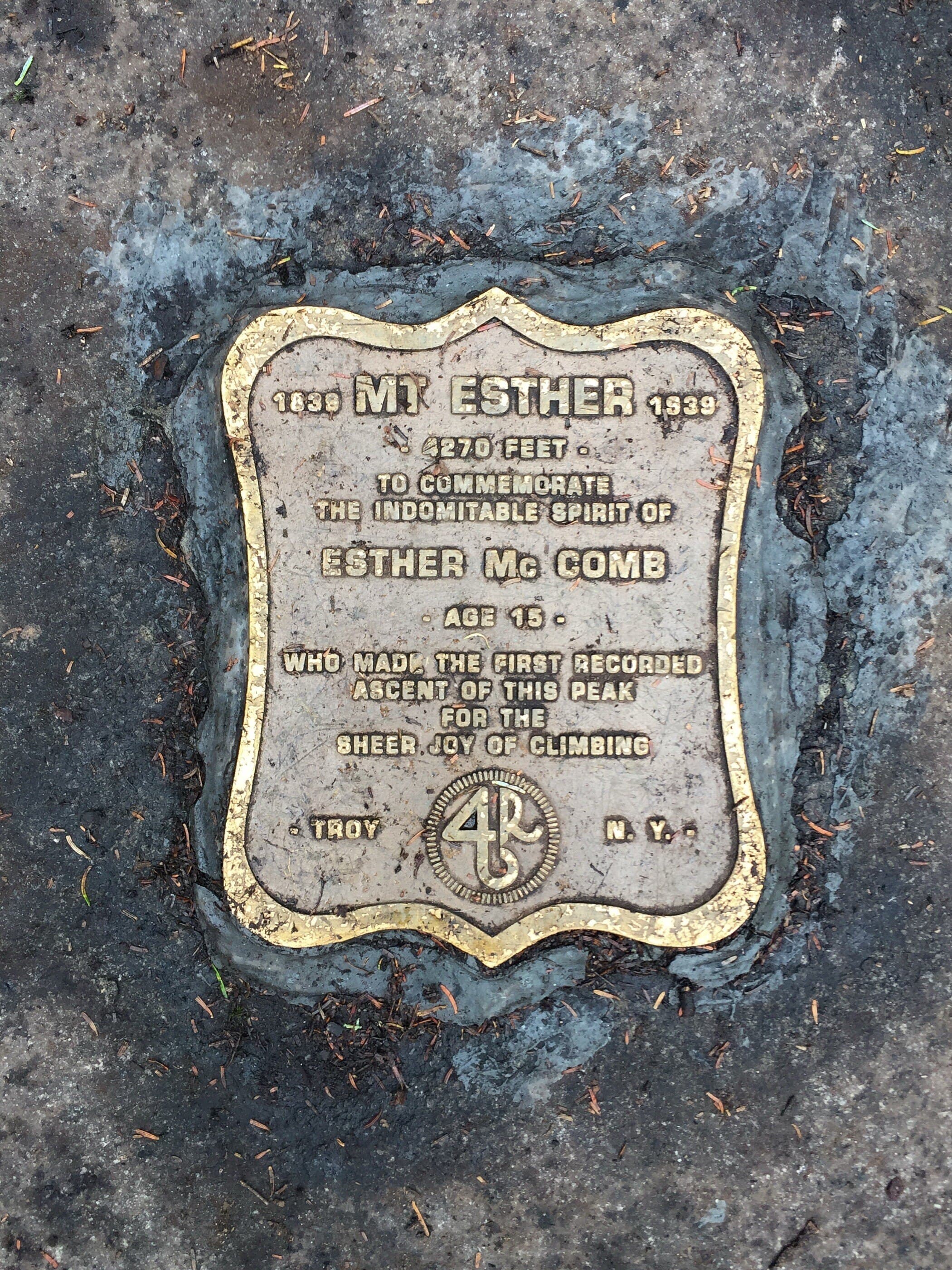
Esther Mountain
Northern Region • Northern Region
Esther Mountain is a wooded High Peak usually reached from the ASRC route with Whiteface, adding a rugged herd-path spur from Lookout Mountain.
Photo Gallery
Have photos of this hike?
Destination map
Esther Mountain
Map note
This map marks the hiking objective itself.
Route files
Route lines and GPX downloads are available only for selected launch routes. Most destination maps will remain objective-only until a later version.
Doing the 46?
See the Whiteface & Esther guide.
Open the Whiteface and Esther guide to understand the ASRC, Marble Mountain, Esther side path, and Whiteface summit approach.
Route Guidance
Trail Overview
Esther Mountain is the quieter wooded partner to Whiteface, reached from the Wilmington-side route by a rough side path off the Marble Mountain corridor. It is often climbed before Whiteface, but the side trip adds mud, time, and navigation to the day.
Cautions
Esther’s side path is rougher and muddier than the main Whiteface approach. Treat it as a real addition to the day, especially in wet conditions, winter conditions, or fading daylight.