
Iroquois Peak
High Peaks Region • High Peaks Region
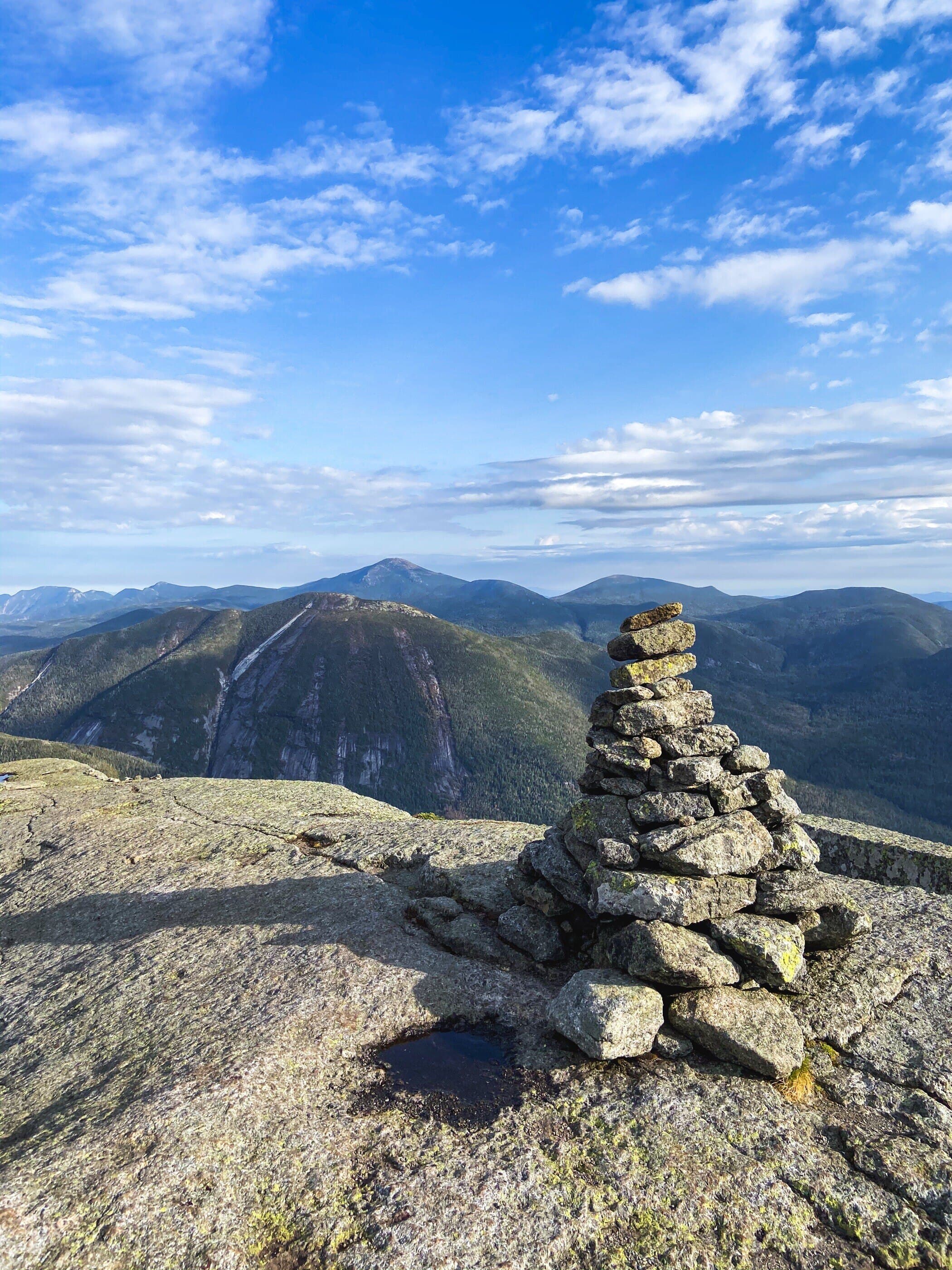
Iroquois Peak is a rugged MacIntyre Range summit reached beyond Algonquin, with exposed travel, herd-path navigation, and outstanding wilderness views.
Photo Gallery
Have photos of this hike?
Destination map
Iroquois Peak
Map note
This map marks the hiking objective itself.
Route files
Route lines and GPX downloads are available only for selected launch routes. Most destination maps will remain objective-only until a later version.
Doing the 46?
See the MacIntyre Range guide.
Open the MacIntyre Range guide to compare Wright, Algonquin, and Iroquois as one Loj-based range day.
Route Guidance
Trail Overview
Iroquois Peak is the rougher far end of the MacIntyre Range day, reached beyond Algonquin by crossing toward Boundary and following the herd-path continuation. It is usually an add-on after Algonquin, but the return climb and exposed terrain make it a real commitment.
Access
Adirondack Loj / HPIC is a paid, high-use High Peaks gateway; the lot often fills early on busy days.
Cautions
Iroquois adds exposed ridge travel, rougher herd-path footing, and a required return over Algonquin. Do not continue beyond Algonquin without enough daylight, weather margin, and energy for the reclimb.