
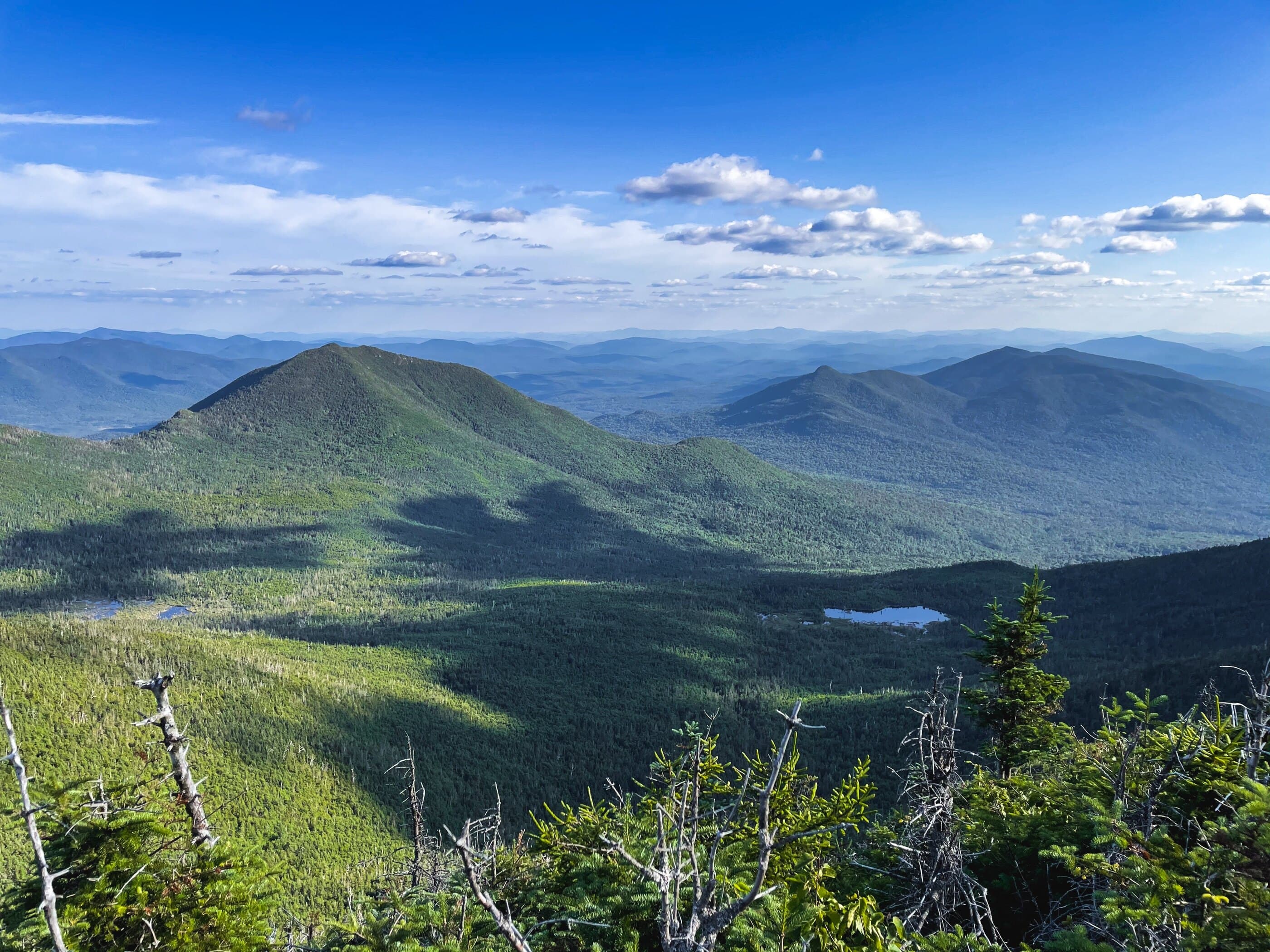
Mount Redfield
High Peaks Region • High Peaks Region
Mount Redfield is a remote High Peak reached from Upper Works by a long Calamity Brook approach and a rugged Uphill Brook herd path.
Photo Gallery
Have photos of this hike?
Destination map
Mount Redfield
Map note
This map marks the hiking objective itself.
Route files
Route lines and GPX downloads are available only for selected launch routes. Most destination maps will remain objective-only until a later version.
Doing the 46?
See the Redfield & Cliff guide.
Open the Redfield and Cliff guide to compare the Upper Works and Loj approaches to the Uphill herd-path area.
Route Guidance
Trail Overview
Mount Redfield is a remote, wooded High Peak usually climbed from the Uphill area by an unmarked herd path. It is often paired with Cliff, and the difficulty comes from the long approach, wet footing, and summit herd-path travel.
Cautions
Redfield requires a long approach and unmarked herd-path travel from the Uphill area. Wet trail, mud, brook conditions, and the return distance can make the day slower than the map suggests.