

Sawteeth
High Peaks Region • High Peaks Region
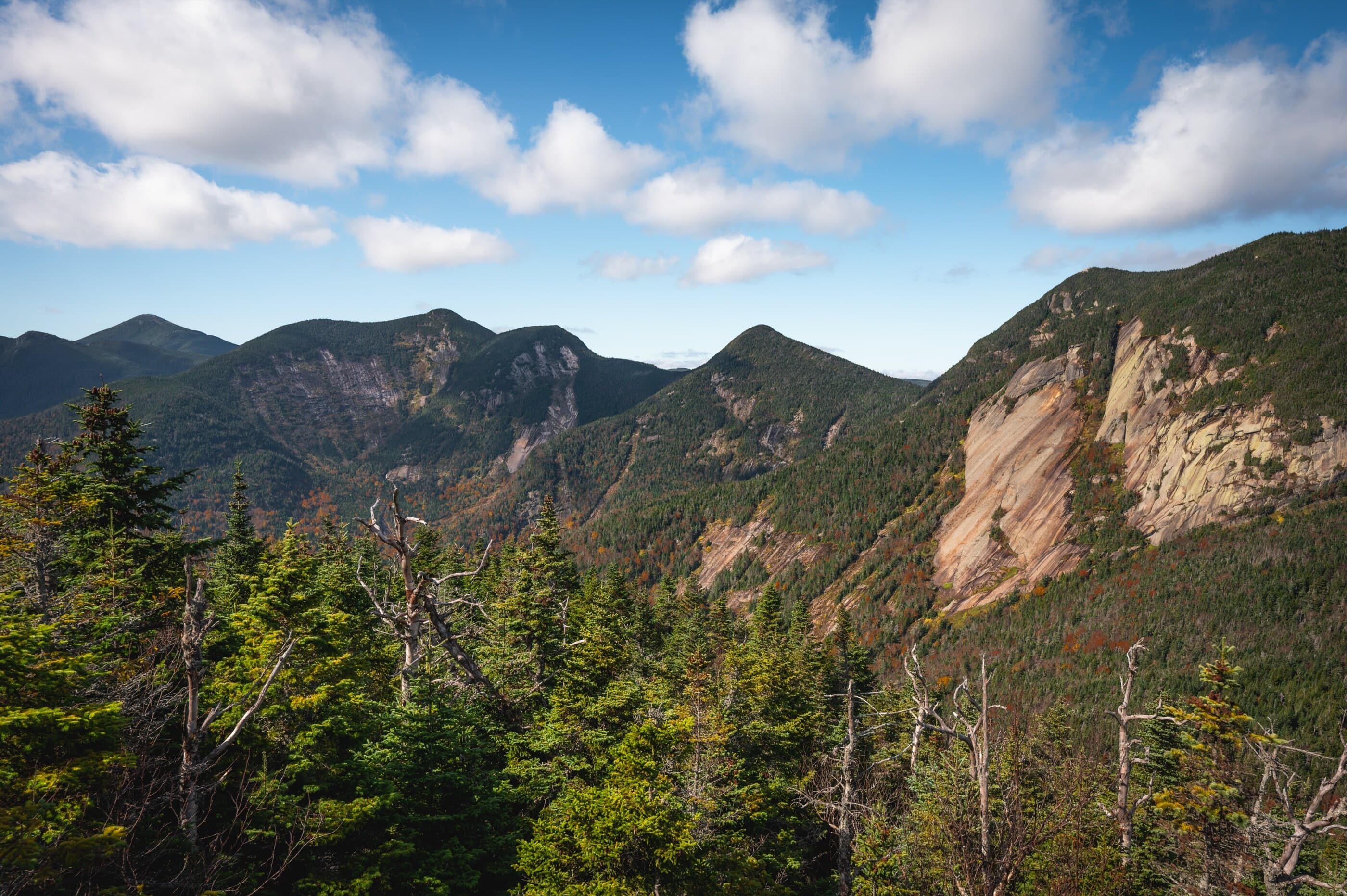
Sawteeth is an AMR High Peak above Lower Ausable Lake, commonly climbed by the Weld Trail with scenic alternate options.
Photo Gallery
Have photos of this hike?
Destination map
Sawteeth
Map note
This map marks the hiking objective itself.
Route files
Route lines and GPX downloads are available only for selected launch routes. Most destination maps will remain objective-only until a later version.
Doing the 46?
See the Sawteeth guide.
Open the Sawteeth guide to compare the Weld Trail and Scenic Route from AMR before planning this High Peak.
Route Guidance
Trail Overview
Sawteeth is the jagged Lower Great Range summit above Lower Ausable Lake, usually climbed from AMR by the practical Weld Trail or the rougher Scenic Route. It can stand alone as a strong High Peaks day or connect naturally to longer Lower Great Range plans.
Cautions
Sawteeth is an AMR access hike, so reservation rules and private-easement restrictions matter. The Scenic Route is slower and rougher than the Weld Trail, and either route can be slippery or slow in wet, icy, or low-visibility conditions.